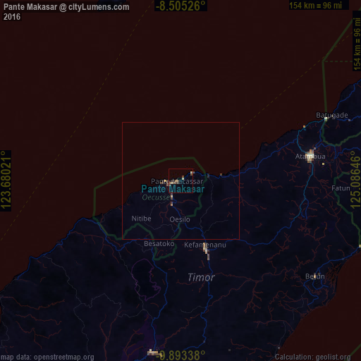
Pante Makasar night lights from space
Night Light of Pante Makasar (Oecusse) from space (Timor Leste) Src. Average luminocity for 10x10km area is 7.5022% and for 50x50km: 0.5692%.
Analysis of Pante Makasar night lights 2016
Square area 10x10 km:
 0%
0%90-99
0%80-89
2.6%70-79
0%60-69
1.08%50-59
0.65%40-49
3.46%30-39
2.6%20-29
1.3%10-19
0.87%0-9
87.45%Square area 50x50 km:
0%90-99
0%80-89
0.14%70-79
0.03%60-69
0.08%50-59
0.03%40-49
0.26%30-39
0.26%20-29
0.16%10-19
0.08%0-9
98.95%Clear (daylight) street map image can be seen on geolist.org.
Map coordinates:
8° 30' 18.9" South, 123° 40' 48.8" East
9° 12' 0" South, 124° 22' 60" East
9° 53' 36.2" South, 125° 5' 11.3" East
Some cities around Pante Makasar sort by population:
• Atambua, ID
56.9 km =35.4 mi,  79°
79°
• Kefamenanu, ID
29.3 km =18.2 mi,  159°
159°
• Soe, ID
74.3 km =46.2 mi,  188°
188°
• Maliana
94.7 km =58.8 mi, 75°
• Suai
96.6 km =60 mi,  97°
97°
• Likisá
125.4 km =77.9 mi,  57°
57°
• Maubara
111.6 km =69.3 mi,  54°
54°
• Ainaro
125.6 km =78 mi, 79°
1632533 (p: 4,730)
Sources (retrieved 2019-11-25):
» Earth at Night: Flat Maps 2012, 2016