Gombong night lights from space
Night Light of Gombong (Central Java) from space (Indonesia) Src. Average luminocity for 10x10km area is 6.684% and for 50x50km: 3.9799%.
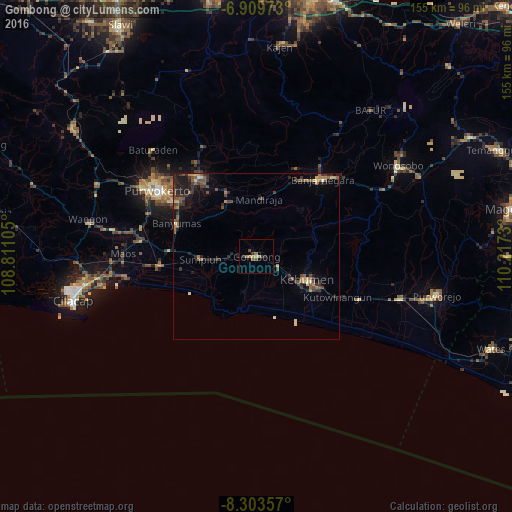
Analysis of Gombong night lights 2016
Square area 10x10 km:
 0%
0%90-99
0%80-89
0%70-79
1.95%60-69
2.38%50-59
1.73%40-49
1.73%30-39
1.08%20-29
2.38%10-19
0.22%0-9
88.53%Square area 50x50 km:
0.03%90-99
0.18%80-89
0.43%70-79
0.45%60-69
0.62%50-59
1.12%40-49
0.93%30-39
1.1%20-29
1.63%10-19
2.02%0-9
91.5%Clear (daylight) street map image can be seen on geolist.org.
Map coordinates:
6° 54' 35" South, 108° 48' 39.8" East
7° 36' 26" South, 109° 30' 51" East
8° 18' 12.9" South, 110° 13' 2.3" East
Some cities around Gombong sort by population:
• Purwokerto
37.1 km =23.1 mi,  303°
303°
• Wonosobo
51 km =31.7 mi,  57°
57°
• Sokaraja
29.9 km =18.6 mi, 303°
• Purbalingga
29.5 km =18.3 mi,  325°
325°
• Banyumas
26.4 km =16.4 mi,  293°
293°
• Baturaden
47.4 km =29.5 mi,  316°
316°
• Kutoarjo
45.6 km =28.3 mi,  105°
105°
• Kroya
29.7 km =18.5 mi,  264°
264°
1643920 (p: 31,965)
Sources (retrieved 2019-11-25):
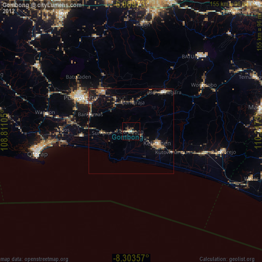
» Earth at Night: Flat Maps 2012, 2016