Baturaden night lights from space
Night Light of Baturaden (Central Java) from space (Indonesia) Src. Average luminocity for 10x10km area is 3.4091% and for 50x50km: 7.1481%.
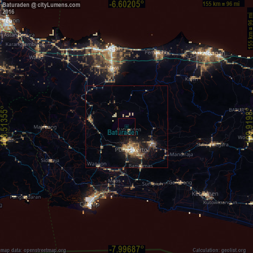
Analysis of Baturaden night lights 2016
Square area 10x10 km:
 0%
0%90-99
0%80-89
0.65%70-79
0.22%60-69
0%50-59
1.08%40-49
0.87%30-39
0.22%20-29
0.87%10-19
0.87%0-9
95.24%Square area 50x50 km:
0.21%90-99
0.42%80-89
1.15%70-79
0.87%60-69
0.87%50-59
1.83%40-49
1.59%30-39
1.34%20-29
2.17%10-19
4.89%0-9
84.64%Clear (daylight) street map image can be seen on geolist.org.
Map coordinates:
6° 36' 7.4" South, 108° 30' 48.8" East
7° 18' 0" South, 109° 13' 0" East
7° 59' 48.7" South, 109° 55' 11.3" East
Some cities around Baturaden sort by population:
• Purwokerto
13.6 km =8.5 mi,  171°
171°
• Sokaraja
19.3 km =12 mi,  155°
155°
• Purbalingga
19 km =11.8 mi,  121°
121°
• Banyumas
25.3 km =15.7 mi, 160°
• Wangon
30 km =18.6 mi,  216°
216°
• Lebaksiu
29 km =18 mi,  343°
343°
• Randudongkal
25.4 km =15.8 mi,  27°
27°
• Balapulang
30.8 km =19.1 mi, 335°
1649595 (p: 42,394)
Sources (retrieved 2019-11-25):
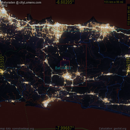
» Earth at Night: Flat Maps 2012, 2016