Kutoarjo night lights from space
Night Light of Kutoarjo (Central Java) from space (Indonesia) Src. Average luminocity for 10x10km area is 6.686% and for 50x50km: 1.3785%.
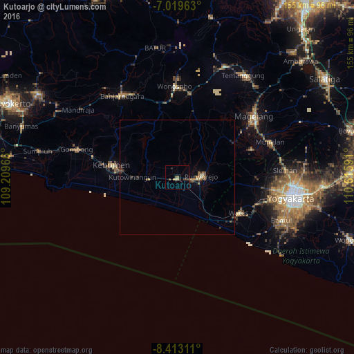
Analysis of Kutoarjo night lights 2016
Square area 10x10 km:
 0%
0%90-99
0%80-89
1.65%70-79
0.83%60-69
0.41%50-59
2.27%40-49
1.86%30-39
0.83%20-29
1.24%10-19
1.24%0-9
89.67%Square area 50x50 km:
0%90-99
0.1%80-89
0.19%70-79
0.08%60-69
0.3%50-59
0.33%40-49
0.24%30-39
0.28%20-29
0.36%10-19
0.42%0-9
97.69%Clear (daylight) street map image can be seen on geolist.org.
Map coordinates:
7° 1' 10.7" South, 109° 12' 34.8" East
7° 43' 1" South, 109° 54' 46" East
8° 24' 47.2" South, 110° 36' 57.3" East
Some cities around Kutoarjo sort by population:
• Magelang
43.4 km =27 mi,  50°
50°
• Wonosobo
39.8 km =24.7 mi,  358°
358°
• Mertoyudan
40.9 km =25.4 mi,  57°
57°
• Gamping Lor
46.4 km =28.8 mi,  100°
100°
• Godean
42.4 km =26.3 mi, 97°
• Muntilan
44.5 km =27.7 mi,  70°
70°
• Gombong
45.6 km =28.3 mi,  285°
285°
• Srandakan
44.6 km =27.7 mi,  123°
123°
1638981 (p: 31,352)
Sources (retrieved 2019-11-25):
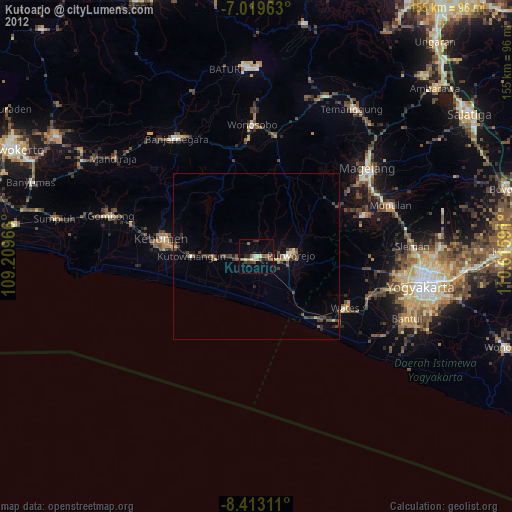
» Earth at Night: Flat Maps 2012, 2016