Banyumas night lights from space
Night Light of Banyumas (Central Java) from space (Indonesia) Src. Average luminocity for 10x10km area is 12.3615% and for 50x50km: 8.0483%.
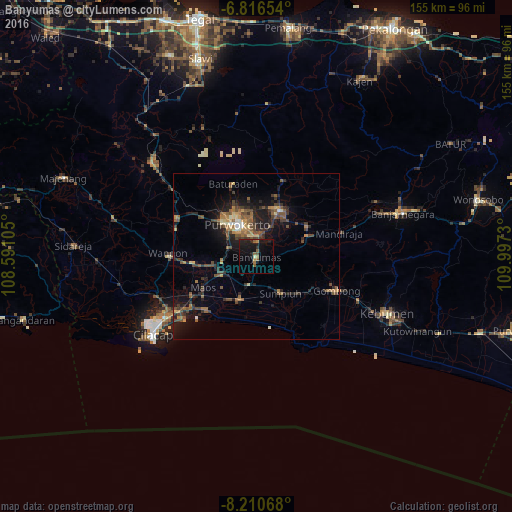
Analysis of Banyumas night lights 2016
Square area 10x10 km:
 0%
0%90-99
0.87%80-89
0%70-79
1.08%60-69
2.6%50-59
4.11%40-49
0.87%30-39
0.43%20-29
4.76%10-19
21%0-9
64.29%Square area 50x50 km:
0.23%90-99
0.36%80-89
0.75%70-79
0.98%60-69
1.21%50-59
2.11%40-49
2.19%30-39
1.66%20-29
2.77%10-19
6.26%0-9
81.48%Clear (daylight) street map image can be seen on geolist.org.
Map coordinates:
6° 48' 59.5" South, 108° 35' 27.8" East
7° 30' 51" South, 109° 17' 39" East
8° 12' 38.4" South, 109° 59' 50.3" East
Some cities around Banyumas sort by population:
• Purwokerto
12.2 km =7.6 mi,  327°
327°
• Sokaraja
6.3 km =3.9 mi,  353°
353°
• Purbalingga
16 km =9.9 mi,  28°
28°
• Baturaden
25.3 km =15.7 mi,  340°
340°
• Wangon
26.5 km =16.5 mi,  269°
269°
• Gombong
26.4 km =16.4 mi,  113°
113°
• Randudongkal
46.4 km =28.8 mi,  4°
4°
• Kroya
14.2 km =8.8 mi,  201°
201°
1650095 (p: 48,378)
Sources (retrieved 2019-11-25):
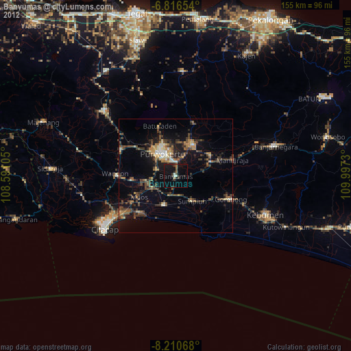
» Earth at Night: Flat Maps 2012, 2016