Tanjung Selor night lights from space
Night Light of Tanjung Selor (North Kalimantan) from space (Indonesia) Src. Average luminocity for 10x10km area is 8.3485% and for 50x50km: 0.4144%.
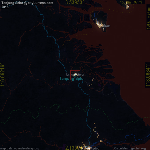
Analysis of Tanjung Selor night lights 2016
Square area 10x10 km:
 0%
0%90-99
2.81%80-89
0.65%70-79
1.3%60-69
1.3%50-59
0.87%40-49
0%30-39
1.95%20-29
3.25%10-19
0%0-9
87.88%Square area 50x50 km:
0%90-99
0.11%80-89
0.03%70-79
0.05%60-69
0.09%50-59
0.03%40-49
0.03%30-39
0.11%20-29
0.2%10-19
0%0-9
99.34%Clear (daylight) street map image can be seen on geolist.org.
Map coordinates:
3° 32' 22.3" North, 116° 39' 43.8" East
2° 50' 15" North, 117° 21' 55" East
2° 8' 6.1" North, 118° 4' 6.3" East
Some cities around Tanjung Selor sort by population:
• Tawau, MY
167 km =103.8 mi,  20°
20°
• Lahad Datu, MY
265.5 km =165 mi, 23°
• Bontang
301.1 km =187.1 mi,  177°
177°
• Tarakan
58.6 km =36.4 mi,  25°
25°
• Keningau, MY
308.5 km =191.7 mi,  334°
334°
• Semporna, MY
229.2 km =142.4 mi,  37°
37°
• Lawas, MY
312.5 km =194.2 mi,  316°
316°
• Sitangkai, PH
303.2 km =188.4 mi,  48°
48°
1624827 (p: 0)
Sources (retrieved 2019-11-25):
» Earth at Night: Flat Maps 2012, 2016