Wangon night lights from space
Night Light of Wangon (Central Java) from space (Indonesia) Src. Average luminocity for 10x10km area is 5.5152% and for 50x50km: 8.0125%.
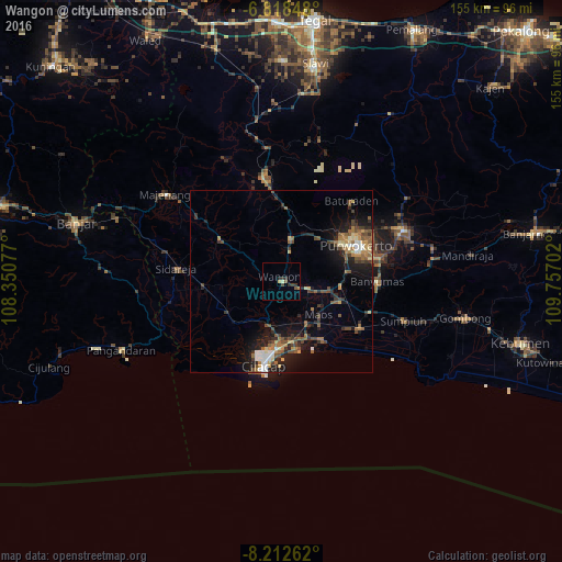
Analysis of Wangon night lights 2016
Square area 10x10 km:
 0%
0%90-99
0%80-89
1.73%70-79
0.43%60-69
0%50-59
0.65%40-49
2.16%30-39
2.6%20-29
2.38%10-19
0.22%0-9
89.83%Square area 50x50 km:
0.63%90-99
0.71%80-89
0.91%70-79
0.91%60-69
1.3%50-59
1.53%40-49
1.97%30-39
1.19%20-29
2.44%10-19
5.92%0-9
82.49%Clear (daylight) street map image can be seen on geolist.org.
Map coordinates:
6° 49' 6.5" South, 108° 21' 2.8" East
7° 30' 58" South, 109° 3' 14" East
8° 12' 45.4" South, 109° 45' 25.3" East
Some cities around Wangon sort by population:
• Purwokerto
22.5 km =14 mi,  62°
62°
• Sokaraja
26.6 km =16.5 mi,  75°
75°
• Purbalingga
37 km =23 mi,  67°
67°
• Banyumas
26.5 km =16.5 mi,  89°
89°
• Baturaden
30 km =18.6 mi,  36°
36°
• Majenang
40.1 km =24.9 mi,  307°
307°
• Sidareja
29 km =18 mi,  276°
276°
• Kroya
24.9 km =15.5 mi,  121°
121°
1622090 (p: 35,530)
Sources (retrieved 2019-11-25):
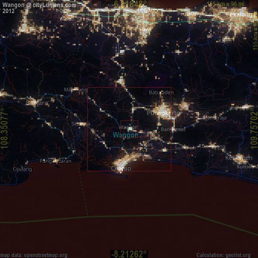
» Earth at Night: Flat Maps 2012, 2016