Lospalos night lights from space
Night Light of Lospalos (Lautém) from space (Timor Leste) Src. Average luminocity for 10x10km area is 1.8719% and for 50x50km: 0.1673%.
Analysis of Lospalos night lights 2016
Square area 10x10 km:
 0%
0%90-99
0.83%80-89
0%70-79
0%60-69
0%50-59
0%40-49
1.65%30-39
0%20-29
0.83%10-19
0%0-9
96.69%Square area 50x50 km:
0%90-99
0.03%80-89
0%70-79
0%60-69
0%50-59
0.03%40-49
0.12%30-39
0.05%20-29
0.1%10-19
0.02%0-9
99.65%Clear (daylight) street map image can be seen on geolist.org.
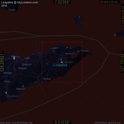
Map coordinates:
7° 49' 32.5" South, 126° 17' 42.8" East
8° 31' 18" South, 126° 59' 54" East
9° 12' 59" South, 127° 42' 5.3" East
Some cities around Lospalos sort by population:
• Dili
156.7 km =97.4 mi,  268°
268°
• Aileu
159.1 km =98.9 mi,  261°
261°
• Venilale
69.5 km =43.2 mi, 258°
• Baukau
59.8 km =37.2 mi, 274°
• Ainaro
171.9 km =106.8 mi,  252°
252°
• Same
157.7 km =98 mi, 250°
• Viqueque
79 km =49.1 mi,  241°
241°
• Manatutu
108.3 km =67.3 mi, 270°
1937274 (p: 17,186)
Sources (retrieved 2019-11-25):
» Earth at Night: Flat Maps 2012, 2016