Baukau night lights from space
Night Light of Baukau (Baucau) from space (Timor Leste) Src. Average luminocity for 10x10km area is 4.3409% and for 50x50km: 0.1956%.
Analysis of Baukau night lights 2016
Square area 10x10 km:
 0%
0%90-99
0.83%80-89
0.83%70-79
0%60-69
0.41%50-59
1.03%40-49
1.45%30-39
1.24%20-29
1.65%10-19
0%0-9
92.56%Square area 50x50 km:
0%90-99
0.03%80-89
0.03%70-79
0%60-69
0.02%50-59
0.04%40-49
0.06%30-39
0.05%20-29
0.13%10-19
0%0-9
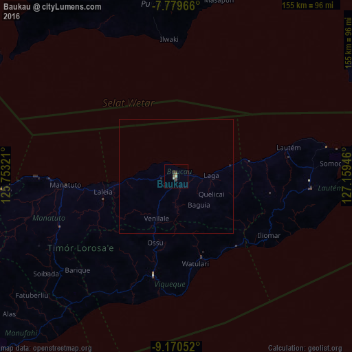
99.63%Clear (daylight) street map image can be seen on geolist.org.
Map coordinates:
7° 46' 46.8" South, 125° 45' 11.6" East
8° 28' 32.6" South, 126° 27' 22.8" East
9° 10' 13.9" South, 127° 9' 34.1" East
Some cities around Baukau sort by population:
• Dili
97.5 km =60.6 mi,  264°
264°
• Aileu
101.8 km =63.3 mi,  253°
253°
• Lospalos
59.8 km =37.2 mi,  94°
94°
• Venilale
20.5 km =12.7 mi,  204°
204°
• Gleno
115.5 km =71.8 mi, 256°
• Same
106.5 km =66.2 mi,  236°
236°
• Viqueque
43.6 km =27.1 mi,  193°
193°
• Manatutu
48.9 km =30.4 mi,  265°
265°
1649539 (p: 16,000)
Sources (retrieved 2019-11-25):
» Earth at Night: Flat Maps 2012, 2016