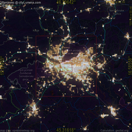
Stenjevec night lights from space
Night Light of Stenjevec (City of Zagreb) from space (Croatia) Src. Average luminocity for 10x10km area is 81.436% and for 50x50km: 25.9723%.
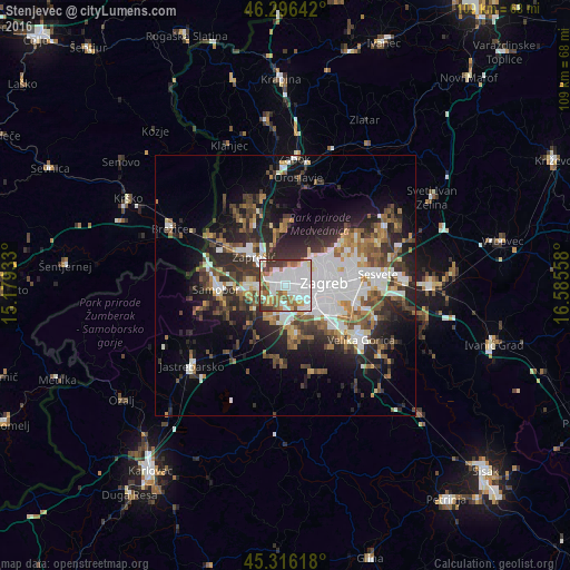
Analysis of Stenjevec night lights 2016
Square area 10x10 km:
 37.95%
90-99
19.05%80-89
6.25%70-79
5.51%60-69
9.23%50-59
8.63%40-49
2.53%30-39
10.57%20-29
0.3%10-19
0%0-9
0%Square area 50x50 km:
6.58%90-99
4.52%80-89
1.74%70-79
2.16%60-69
3.42%50-59
3.57%40-49
3.85%30-39
4.68%20-29
7.99%10-19
10.17%0-9
51.32%Clear (daylight) street map image can be seen on geolist.org.
Map coordinates:
46° 17' 47.1" North, 15° 10' 45.6" East
45° 48' 30.5" North, 15° 52' 56.8" East
45° 18' 58.2" North, 16° 35' 8.1" East
Some cities around Stenjevec sort by population:
• Zagreb
7.4 km =4.6 mi,  84°
84°
• Sesvete
18.3 km =11.4 mi, 82°
• Centar
7.4 km =4.6 mi,  85°
85°
• Velika Gorica
18.4 km =11.4 mi,  125°
125°
• Zaprešić
7.9 km =4.9 mi,  312°
312°
• Samobor
12.8 km =8 mi,  267°
267°
• Brezovica
9.1 km =5.7 mi,  166°
166°
• Jastrebarsko
23.9 km =14.9 mi,  229°
229°
3209380 (p: 41,257)
Sources (retrieved 2019-11-25):
» Earth at Night: Flat Maps 2012, 2016