Sesvete night lights from space
Night Light of Sesvete (City of Zagreb) from space (Croatia) Src. Average luminocity for 10x10km area is 73.9435% and for 50x50km: 23.681%.
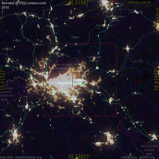
Analysis of Sesvete night lights 2016
Square area 10x10 km:
 25.3%
25.3%90-99
19.49%80-89
7.14%70-79
5.51%60-69
9.82%50-59
9.38%40-49
8.48%30-39
8.48%20-29
5.36%10-19
1.04%0-9
0%Square area 50x50 km:
6.35%90-99
4.31%80-89
1.72%70-79
1.99%60-69
3.26%50-59
3.02%40-49
2.9%30-39
3.95%20-29
5.94%10-19
9.2%0-9
57.36%Clear (daylight) street map image can be seen on geolist.org.
Map coordinates:
46° 19' 7.9" North, 15° 24' 47.8" East
45° 49' 52" North, 16° 6' 59" East
45° 20' 20.5" North, 16° 49' 10.3" East
Some cities around Sesvete sort by population:
• Zagreb
10.9 km =6.8 mi,  260°
260°
• Stenjevec
18.3 km =11.4 mi, 262°
• Centar
10.9 km =6.8 mi, 259°
• Velika Gorica
13.6 km =8.5 mi,  193°
193°
• Zaprešić
24.1 km =15 mi,  276°
276°
• Samobor
31 km =19.3 mi, 264°
• Križevci
39.2 km =24.4 mi,  57°
57°
• Brezovica
19.6 km =12.2 mi,  234°
234°
3190966 (p: 52,411)
Sources (retrieved 2019-11-25):
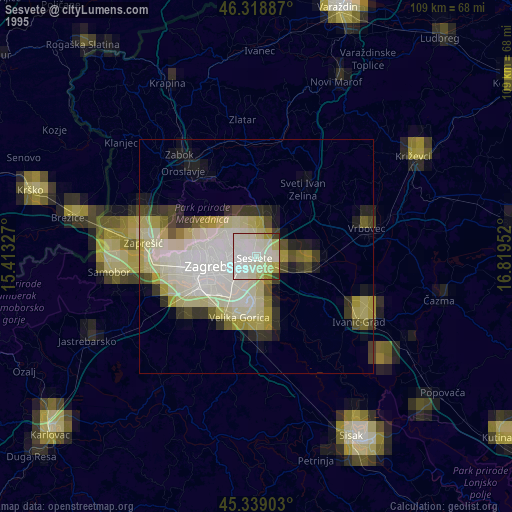
» NASA, Earths city lights 1995
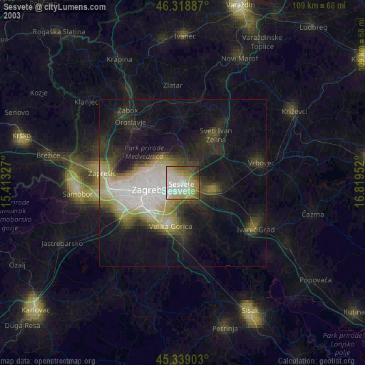
» NASA city lights 2003
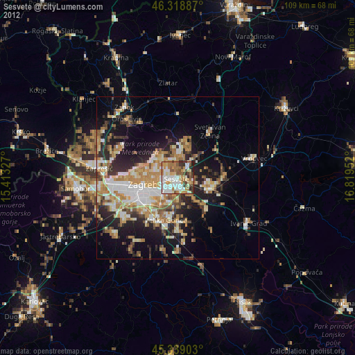
» Earth at Night: Flat Maps 2012, 2016