Pula night lights from space
Night Light of Pula (Istria) from space (Croatia) Src. Average luminocity for 10x10km area is 46.2778% and for 50x50km: 4.2174%.
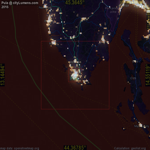
Analysis of Pula night lights 2016
Square area 10x10 km:
 9.21%
9.21%90-99
9.21%80-89
5.87%70-79
5.56%60-69
5.08%50-59
6.67%40-49
4.44%30-39
5.71%20-29
15.87%10-19
27.62%0-9
4.76%Square area 50x50 km:
0.52%90-99
0.77%80-89
0.47%70-79
0.47%60-69
0.48%50-59
0.49%40-49
0.44%30-39
0.46%20-29
1.09%10-19
3.61%0-9
91.2%Clear (daylight) street map image can be seen on geolist.org.
Map coordinates:
45° 21' 52.2" North, 13° 8' 41.8" East
44° 52' 6" North, 13° 50' 53" East
44° 22' 4.3" North, 14° 33' 4.3" East
Some cities around Pula sort by population:
• Rijeka
69.1 km =42.9 mi,  42°
42°
• Rovinj
29.2 km =18.1 mi,  324°
324°
• Poreč
44.4 km =27.6 mi,  333°
333°
• Labin
33 km =20.5 mi, 40°
• Opatija
63.3 km =39.3 mi,  34°
34°
• Umag
67.6 km =42 mi,  337°
337°
• Buzet
60.9 km =37.8 mi,  8°
8°
• Pazin
41.9 km =26 mi, 9°
3192224 (p: 59,078)
Sources (retrieved 2019-11-25):
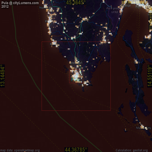
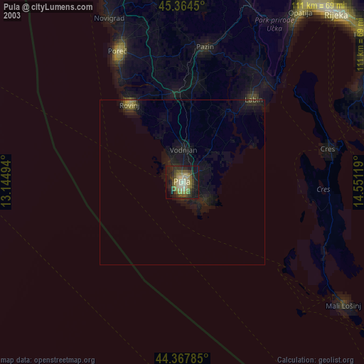
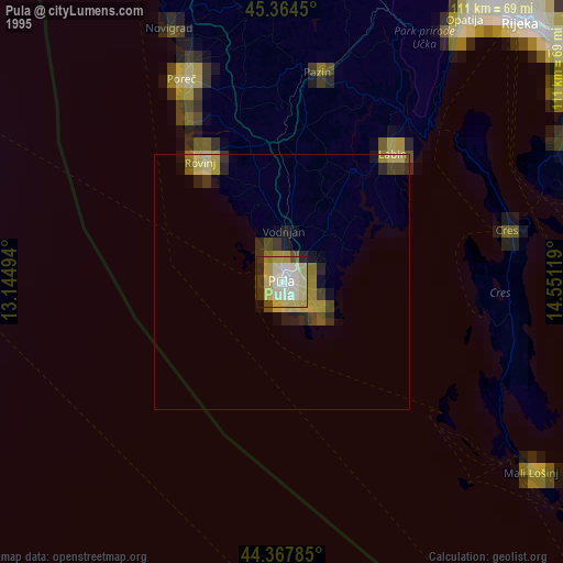
» NASA, Earths city lights 1995
» NASA city lights 2003
» Earth at Night: Flat Maps 2012, 2016