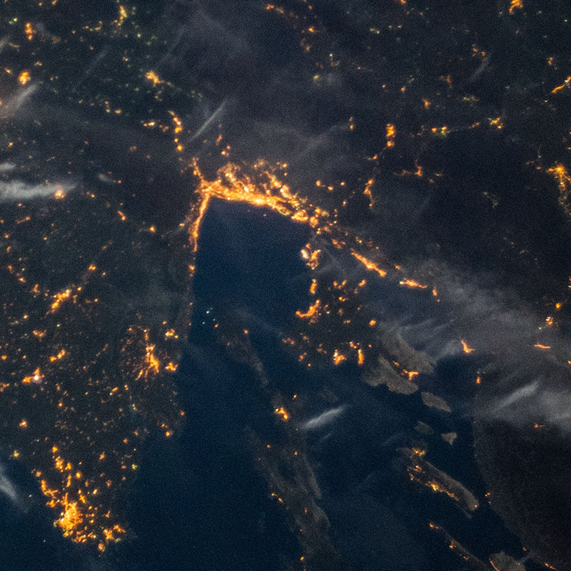
Rijeka night lights from space
Night Light of Rijeka (Primorsko-Goranska) from space (Croatia) Src. Average luminocity for 10x10km area is 54.9476% and for 50x50km: 8.43%.
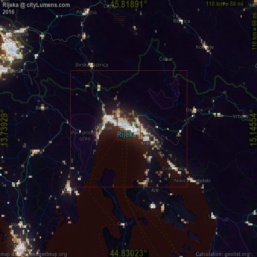
Analysis of Rijeka night lights 2016
Square area 10x10 km:
 15.87%
90-99
13.49%80-89
6.35%70-79
4.76%60-69
6.35%50-59
2.86%40-49
4.44%30-39
5.08%20-29
22.54%10-19
15.08%0-9
3.17%Square area 50x50 km:
1.28%90-99
1.4%80-89
0.82%70-79
0.53%60-69
0.89%50-59
1.08%40-49
1.24%30-39
1.19%20-29
3.31%10-19
5.9%0-9
82.38%Clear (daylight) street map image can be seen on geolist.org.
Map coordinates:
45° 49' 8.1" North, 13° 44' 21.4" East
45° 19' 36.2" North, 14° 26' 32.7" East
44° 49' 48.8" North, 15° 8' 43.9" East
Fantastic image of Rijeka from space taken by astronauts [src2], but I don't have information about it's orientation, scale or angle. If necessary, it was rotated manually, so North points approximately to upper direction. Click to zoom in:
Some cities around Rijeka sort by population:
• Labin
36.1 km =22.4 mi,  224°
224°
• Opatija
10.8 km =6.7 mi,  276°
276°
• Drenova
2.8 km =1.7 mi,  339°
339°
• Crikvenica
25.7 km =16 mi,  130°
130°
• Novi Vinodolski
35 km =21.7 mi, 129°
• Ilirska Bistrica, SI
30.9 km =19.2 mi,  330°
330°
• Leskova Dolina, SI
32.8 km =20.4 mi,  2°
2°
• Osilnica, SI
30.1 km =18.7 mi,  41°
41°
3191648 (p: 141,172)
Sources (retrieved 2019-11-25):
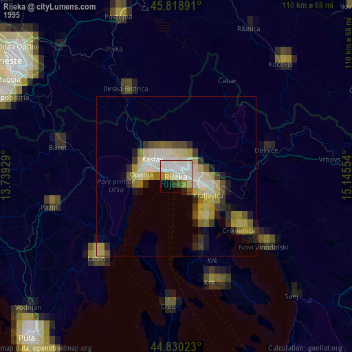
» NASA, Earths city lights 1995
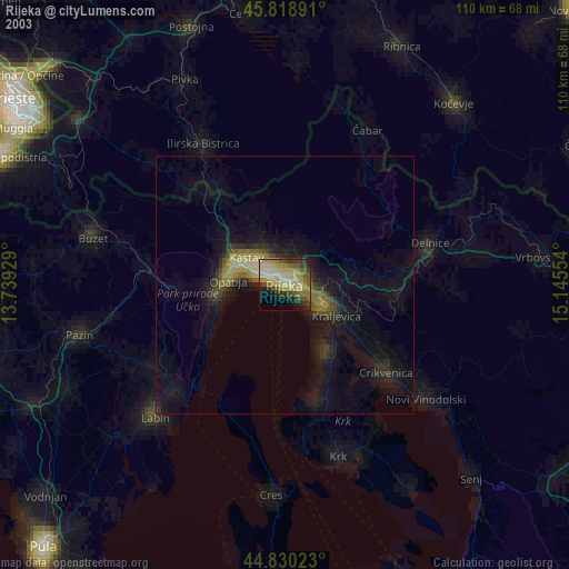
» NASA city lights 2003
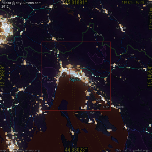
» Earth at Night: Flat Maps 2012, 2016
Src.2: NASA.gov ID: ISS037-E-16015, 2013-10-18