Juticalpa night lights from space
Night Light of Juticalpa (Olancho) from space (Honduras) Src. Average luminocity for 10x10km area is 15.1012% and for 50x50km: 0.7684%.
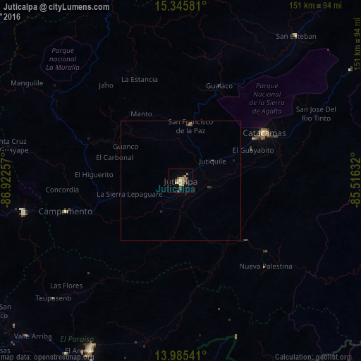
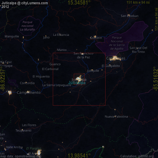
Analysis of Juticalpa night lights 2016
Square area 10x10 km:
 0.41%
0.41%90-99
1.03%80-89
2.48%70-79
2.69%60-69
4.13%50-59
2.07%40-49
3.31%30-39
2.89%20-29
1.65%10-19
1.45%0-9
77.89%Square area 50x50 km:
0.02%90-99
0.04%80-89
0.1%70-79
0.11%60-69
0.2%50-59
0.08%40-49
0.25%30-39
0.2%20-29
0.12%10-19
0.11%0-9
98.78%Clear (daylight) street map image can be seen on geolist.org.
Map coordinates:
15° 20' 44.9" North, 86° 55' 21.3" West
14° 40' 0" North, 86° 13' 10" West
13° 59' 7.5" North, 85° 30' 58.8" West
Some cities around Juticalpa sort by population:
• Danlí
80.6 km =50.1 mi,  209°
209°
• Jalapa, NI
83.4 km =51.8 mi,  172°
172°
• El Paraíso
95.8 km =59.5 mi,  201°
201°
• Guaimaca
65.9 km =40.9 mi,  257°
257°
• Sabá
89 km =55.3 mi,  357°
357°
• Campamento
48.1 km =29.9 mi,  254°
254°
• Las Trojes
71.4 km =44.4 mi,  159°
159°
• San Francisco de la Paz
26 km =16.2 mi,  4°
4°
3608503 (p: 33,686)
Sources (retrieved 2019-11-25):
» Earth at Night: Flat Maps 2012, 2016