San Francisco de la Paz night lights from space
Night Light of San Francisco de la Paz (Olancho) from space (Honduras) Src. Average luminocity for 10x10km area is 1.9793% and for 50x50km: 0.276%.
Analysis of San Francisco de la Paz night lights 2016
Square area 10x10 km:
 0%
0%90-99
0%80-89
0%70-79
0%60-69
0.83%50-59
0%40-49
2.89%30-39
0.41%20-29
0%10-19
0%0-9
95.87%Square area 50x50 km:
0%90-99
0%80-89
0.02%70-79
0.02%60-69
0.09%50-59
0.02%40-49
0.15%30-39
0.12%20-29
0%10-19
0.03%0-9
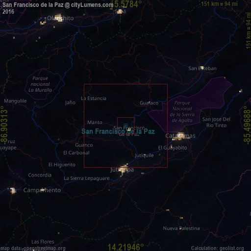
99.55%Clear (daylight) street map image can be seen on geolist.org.
Map coordinates:
15° 34' 42.2" North, 86° 54' 11.3" West
14° 54' 0" North, 86° 12' 0" West
14° 13' 10.1" North, 85° 29' 48.8" West
Some cities around San Francisco de la Paz sort by population:
• Juticalpa
26 km =16.2 mi,  184°
184°
• Tocoa
89.7 km =55.7 mi,  13°
13°
• Olanchito
76.1 km =47.3 mi,  328°
328°
• Yoro
103.1 km =64.1 mi,  284°
284°
• Guaimaca
77.8 km =48.3 mi,  238°
238°
• Sabá
63.2 km =39.3 mi,  355°
355°
• Campamento
62.1 km =38.6 mi,  231°
231°
• Las Trojes
95.5 km =59.3 mi,  165°
165°
3602281 (p: 5,411)
Sources (retrieved 2019-11-25):
» Earth at Night: Flat Maps 2012, 2016