Las Trojes night lights from space
Night Light of Las Trojes (El Paraíso) from space (Honduras) Src. Average luminocity for 10x10km area is 1.171% and for 50x50km: 0.1447%.
Analysis of Las Trojes night lights 2016
Square area 10x10 km:
 0%
0%90-99
0%80-89
0%70-79
0%60-69
0.87%50-59
0.87%40-49
0%30-39
0%20-29
0%10-19
0%0-9
98.27%Square area 50x50 km:
0%90-99
0.02%80-89
0.02%70-79
0.02%60-69
0.05%50-59
0.03%40-49
0%30-39
0.03%20-29
0.07%10-19
0.03%0-9
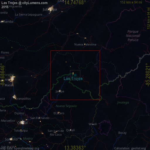
99.73%Clear (daylight) street map image can be seen on geolist.org.
Map coordinates:
14° 44' 51.6" North, 86° 41' 11.3" West
14° 4' 0" North, 85° 58' 60" West
13° 23' 1.1" North, 85° 16' 48.8" West
Some cities around Las Trojes sort by population:
• Danlí
64.8 km =40.3 mi,  266°
266°
• Ocotal, NI
71.8 km =44.6 mi,  227°
227°
• Juticalpa
71.4 km =44.4 mi,  339°
339°
• Jalapa, NI
22.1 km =13.7 mi,  223°
223°
• El Paraíso
65.1 km =40.5 mi,  250°
250°
• Quilalí, NI
55.8 km =34.7 mi,  184°
184°
• Wiwilí, NI
51.8 km =32.2 mi,  160°
160°
• Campamento
89.7 km =55.7 mi,  306°
306°
3606292 (p: 6,253)
Sources (retrieved 2019-11-25):
» Earth at Night: Flat Maps 2012, 2016