Puerto Cortez night lights from space
Night Light of Puerto Cortez (Cortés) from space (Honduras) Src. Average luminocity for 10x10km area is 51.0714% and for 50x50km: 6.5482%.
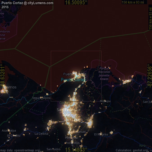
Analysis of Puerto Cortez night lights 2016
Square area 10x10 km:
 5.84%
5.84%90-99
10.82%80-89
9.09%70-79
9.09%60-69
6.93%50-59
10.17%40-49
2.81%30-39
5.19%20-29
14.72%10-19
25.11%0-9
0.22%Square area 50x50 km:
0.34%90-99
0.86%80-89
1.26%70-79
0.83%60-69
0.9%50-59
0.96%40-49
0.57%30-39
0.86%20-29
2.02%10-19
6.21%0-9
85.2%Clear (daylight) street map image can be seen on geolist.org.
Map coordinates:
16° 30' 3.4" North, 88° 37' 58.1" West
15° 49' 32.2" North, 87° 55' 46.8" West
15° 8' 52.9" North, 87° 13' 35.6" West
Some cities around Puerto Cortez sort by population:
• San Pedro Sula
37.2 km =23.1 mi,  195°
195°
• Choloma
23.6 km =14.7 mi,  186°
186°
• El Progreso
49.3 km =30.6 mi,  163°
163°
• La Lima
43.6 km =27.1 mi,  178°
178°
• Tela
49.8 km =30.9 mi,  96°
96°
• Baracoa
10.8 km =6.7 mi,  127°
127°
• Mezapa
40.3 km =25 mi, 131°
• Cuyamel
33.9 km =21.1 mi,  238°
238°
3600026 (p: 48,013)
Sources (retrieved 2019-11-25):
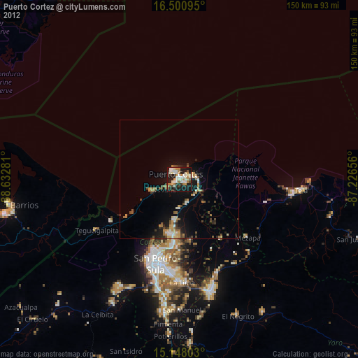
» Earth at Night: Flat Maps 2012, 2016