San Pedro Sula night lights from space
Night Light of San Pedro Sula (Cortés) from space (Honduras) Src. Average luminocity for 10x10km area is 85.5996% and for 50x50km: 22.0093%.
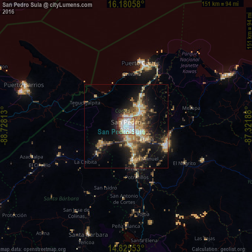
Analysis of San Pedro Sula night lights 2016
Square area 10x10 km:
 35.06%
90-99
30.09%80-89
10.61%70-79
5.41%60-69
1.95%50-59
3.25%40-49
7.14%30-39
3.68%20-29
2.81%10-19
0%0-9
0%Square area 50x50 km:
2.59%90-99
3.6%80-89
3.43%70-79
3.13%60-69
3.2%50-59
3.38%40-49
3.28%30-39
3.79%20-29
5.49%10-19
12.05%0-9
56.07%Clear (daylight) street map image can be seen on geolist.org.
Map coordinates:
16° 10' 50.1" North, 88° 43' 41.3" West
15° 30' 15" North, 88° 1' 30" West
14° 49' 31.9" North, 87° 19' 18.8" West
Some cities around San Pedro Sula sort by population:
• Choloma
14.5 km =9 mi,  32°
32°
• El Progreso
26.8 km =16.7 mi,  115°
115°
• La Lima
14 km =8.7 mi, 124°
• Villanueva
21 km =13 mi,  172°
172°
• Cofradía
17.7 km =11 mi,  229°
229°
• Pimienta Vieja
30.8 km =19.1 mi, 168°
• San Manuel
22.3 km =13.9 mi,  148°
148°
• Cuyamel
26 km =16.2 mi,  313°
313°
3601782 (p: 489,466)
Sources (retrieved 2019-11-25):
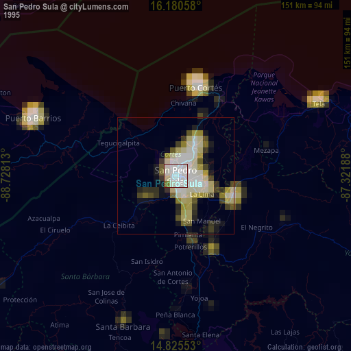
» NASA, Earths city lights 1995
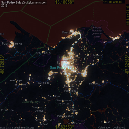
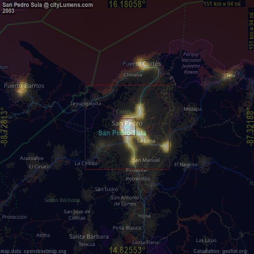
» NASA city lights 2003
» Earth at Night: Flat Maps 2012, 2016