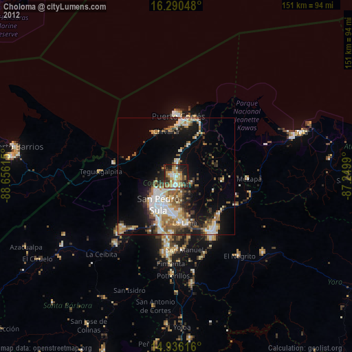
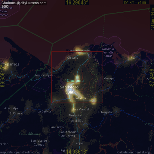
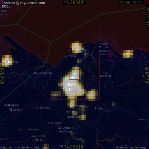
Choloma night lights from space
Night Light of Choloma (Cortés) from space (Honduras) Src. Average luminocity for 10x10km area is 58.8398% and for 50x50km: 20.9332%.
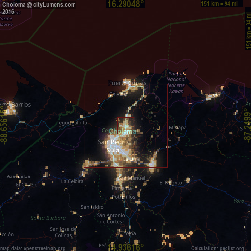
Analysis of Choloma night lights 2016
Square area 10x10 km:
 4.11%
4.11%90-99
11.69%80-89
13.64%70-79
11.9%60-69
11.47%50-59
7.79%40-49
8.23%30-39
9.52%20-29
15.15%10-19
6.28%0-9
0.22%Square area 50x50 km:
2.65%90-99
3.61%80-89
3.46%70-79
2.76%60-69
3.05%50-59
3.37%40-49
3.1%30-39
3.02%20-29
4.41%10-19
11.08%0-9
59.47%Clear (daylight) street map image can be seen on geolist.org.
Map coordinates:
16° 17' 25.7" North, 88° 39' 22.1" West
15° 36' 52" North, 87° 57' 10.9" West
14° 56' 10.2" North, 87° 14' 59.6" West
Some cities around Choloma sort by population:
• San Pedro Sula
14.5 km =9 mi,  212°
212°
• El Progreso
28.9 km =18 mi,  145°
145°
• Puerto Cortez
23.6 km =14.7 mi,  6°
6°
• La Lima
20.5 km =12.7 mi,  169°
169°
• Cofradía
31.8 km =19.8 mi,  221°
221°
• Baracoa
20.2 km =12.6 mi,  33°
33°
• San Manuel
31.5 km =19.6 mi, 172°
• Cuyamel
27.1 km =16.8 mi,  282°
282°
3613533 (p: 139,100)
Sources (retrieved 2019-11-25):
» NASA, Earths city lights 1995
» NASA city lights 2003
» Earth at Night: Flat Maps 2012, 2016