Mabaruma night lights from space
Night Light of Mabaruma (Barima-Waini) from space (Guyana) Src. Average luminocity for 10x10km area is 0% and for 50x50km: 0%.
Analysis of Mabaruma night lights 2016
Square area 10x10 km:
 0%
0%90-99
0%80-89
0%70-79
0%60-69
0%50-59
0%40-49
0%30-39
0%20-29
0%10-19
0%0-9
100%Square area 50x50 km:
0%90-99
0%80-89
0%70-79
0%60-69
0%50-59
0%40-49
0%30-39
0%20-29
0%10-19
0%0-9
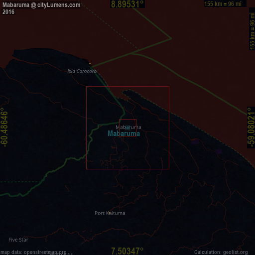
100%Clear (daylight) street map image can be seen on geolist.org.
Map coordinates:
8° 53' 43.1" North, 60° 29' 11.3" West
8° 12' 0" North, 59° 46' 60" West
7° 30' 12.5" North, 59° 4' 48.8" West
Some cities around Mabaruma sort by population:
• Georgetown
237.2 km =147.4 mi,  130°
130°
• Tucupita, VE
266.8 km =165.8 mi,  290°
290°
• Rio Claro, TT
279.6 km =173.7 mi,  326°
326°
• Anna Regina
174.9 km =108.7 mi, 126°
• Peñal, TT
286.3 km =177.9 mi,  319°
319°
• Bartica
236.9 km =147.2 mi,  147°
147°
• Siparia, TT
287.4 km =178.6 mi, 318°
• Vreed-en-Hoop
233.4 km =145 mi, 131°
3377301 (p: 717)
Sources (retrieved 2019-11-25):
» Earth at Night: Flat Maps 2012, 2016