Anna Regina night lights from space
Night Light of Anna Regina (Pomeroon-Supenaam) from space (Guyana) Src. Average luminocity for 10x10km area is 5.3961% and for 50x50km: 0.3697%.
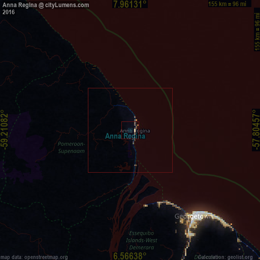
Analysis of Anna Regina night lights 2016
Square area 10x10 km:
 0%
0%90-99
0%80-89
1.3%70-79
0.43%60-69
0%50-59
1.73%40-49
2.81%30-39
2.81%20-29
0.65%10-19
0.22%0-9
90.04%Square area 50x50 km:
0%90-99
0%80-89
0.05%70-79
0.05%60-69
0%50-59
0.07%40-49
0.2%30-39
0.22%20-29
0.13%10-19
0.01%0-9
99.27%Clear (daylight) street map image can be seen on geolist.org.
Map coordinates:
7° 57' 40.7" North, 59° 12' 39" West
7° 15' 51.8" North, 58° 30' 27.7" West
6° 33' 59" North, 57° 48' 16.5" West
Some cities around Anna Regina sort by population:
• Georgetown
64.2 km =39.9 mi,  142°
142°
• Linden
141.4 km =87.9 mi,  170°
170°
• New Amsterdam
157.3 km =97.7 mi, 135°
• Bartica
96.1 km =59.7 mi,  187°
187°
• Rosignol
153.9 km =95.6 mi, 135°
• Vreed-en-Hoop
61.1 km =38 mi,  145°
145°
• Mabaruma
174.9 km =108.7 mi,  306°
306°
• Fort Wellington
139.3 km =86.6 mi,  134°
134°
7303406 (p: 12,448)
Sources (retrieved 2019-11-25):
» Earth at Night: Flat Maps 2012, 2016