Santa Lucía Cotzumalguapa night lights from space
Night Light of Santa Lucía Cotzumalguapa (Escuintla) from space (Guatemala) Src. Average luminocity for 10x10km area is 18.7208% and for 50x50km: 3.0446%.
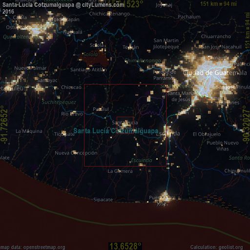
Analysis of Santa Lucía Cotzumalguapa night lights 2016
Square area 10x10 km:
 0.65%
0.65%90-99
0.22%80-89
1.08%70-79
4.55%60-69
6.06%50-59
4.98%40-49
0.87%30-39
7.14%20-29
1.73%10-19
2.38%0-9
70.35%Square area 50x50 km:
0.04%90-99
0.29%80-89
0.59%70-79
0.47%60-69
0.47%50-59
0.43%40-49
0.49%30-39
0.64%20-29
0.42%10-19
1.13%0-9
95.04%Clear (daylight) street map image can be seen on geolist.org.
Map coordinates:
15° 0' 54.8" North, 91° 43' 35.5" West
14° 20' 6.2" North, 91° 1' 24.2" West
13° 39' 10.1" North, 90° 19' 13" West
Some cities around Santa Lucía Cotzumalguapa sort by population:
• Escuintla
25.9 km =16.1 mi,  97°
97°
• La Gomera
28.3 km =17.6 mi,  186°
186°
• Alotenango
28.3 km =17.6 mi,  55°
55°
• Patulul
17.7 km =11 mi,  303°
303°
• Masagua
23.9 km =14.9 mi,  127°
127°
• Yepocapa
20 km =12.4 mi,  21°
21°
• Acatenango
25.9 km =16.1 mi, 19°
• La Democracia
14.2 km =8.8 mi,  144°
144°
3589289 (p: 62,097)
Sources (retrieved 2019-11-25):
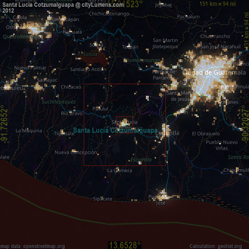
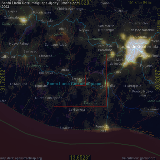
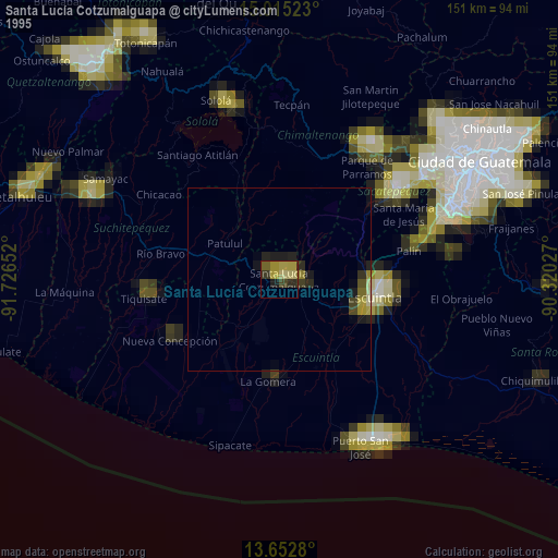
» NASA, Earths city lights 1995
» NASA city lights 2003
» Earth at Night: Flat Maps 2012, 2016