Santa Cruz del Quiché night lights from space
Night Light of Santa Cruz del Quiché (Quiché) from space (Guatemala) Src. Average luminocity for 10x10km area is 11.1012% and for 50x50km: 1.5577%.
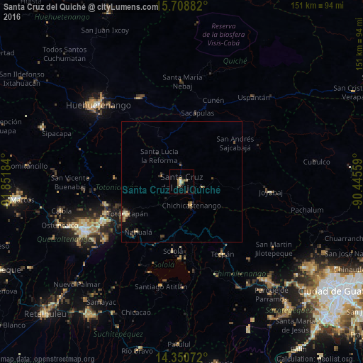
Analysis of Santa Cruz del Quiché night lights 2016
Square area 10x10 km:
 1.24%
1.24%90-99
0.41%80-89
2.27%70-79
1.86%60-69
1.86%50-59
2.27%40-49
0.83%30-39
1.65%20-29
0.83%10-19
0.83%0-9
85.95%Square area 50x50 km:
0.05%90-99
0.12%80-89
0.32%70-79
0.17%60-69
0.17%50-59
0.22%40-49
0.44%30-39
0.36%20-29
0.24%10-19
0.4%0-9
97.5%Clear (daylight) street map image can be seen on geolist.org.
Map coordinates:
15° 42' 31.8" North, 91° 51' 6.6" West
15° 1' 51.1" North, 91° 8' 55.4" West
14° 21' 2.6" North, 90° 26' 44.1" West
Some cities around Santa Cruz del Quiché sort by population:
• Chichicastenango
10.5 km =6.5 mi,  157°
157°
• Totonicapán
26.4 km =16.4 mi,  239°
239°
• Sololá
29 km =18 mi,  187°
187°
• Momostenango
28 km =17.4 mi,  273°
273°
• Nahualá
27.7 km =17.2 mi,  221°
221°
• Panajachel
32.1 km =19.9 mi,  181°
181°
• Sacapulas
29.3 km =18.2 mi,  12°
12°
• Zacualpa
29.1 km =18.1 mi,  90°
90°
3589404 (p: 23,618)
Sources (retrieved 2019-11-25):
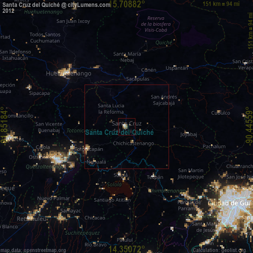
» Earth at Night: Flat Maps 2012, 2016