Sololá night lights from space
Night Light of Sololá from space (Guatemala) Src. Average luminocity for 10x10km area is 5.3946% and for 50x50km: 2.3304%.
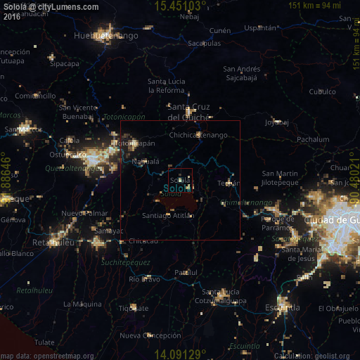
Analysis of Sololá night lights 2016
Square area 10x10 km:
 0%
0%90-99
0%80-89
2.48%70-79
1.03%60-69
1.03%50-59
0.41%40-49
0%30-39
0%20-29
1.65%10-19
2.07%0-9
91.32%Square area 50x50 km:
0%90-99
0.12%80-89
0.44%70-79
0.28%60-69
0.25%50-59
0.23%40-49
0.67%30-39
0.7%20-29
0.58%10-19
1.72%0-9
95.01%Clear (daylight) street map image can be seen on geolist.org.
Map coordinates:
15° 27' 3.7" North, 91° 53' 11.3" West
14° 46' 20" North, 91° 10' 60" West
14° 5' 28.6" North, 90° 28' 48.8" West
Some cities around Sololá sort by population:
• Santiago Atitlán
15.7 km =9.8 mi,  198°
198°
• Nahualá
16.5 km =10.3 mi,  298°
298°
• Santa Catarina Ixtahuacán
19.1 km =11.9 mi,  278°
278°
• San Lucas Tolimán
20.1 km =12.5 mi,  168°
168°
• Panajachel
4.4 km =2.7 mi,  139°
139°
• San Pedro La Laguna
13 km =8.1 mi,  227°
227°
• San Pablo La Laguna
11.1 km =6.9 mi,  239°
239°
• Santa Clara La Laguna
14.4 km =8.9 mi, 243°
3588698 (p: 45,373)
Sources (retrieved 2019-11-25):
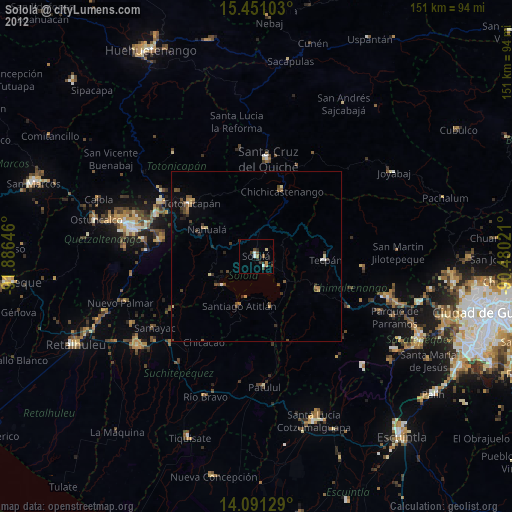
» Earth at Night: Flat Maps 2012, 2016