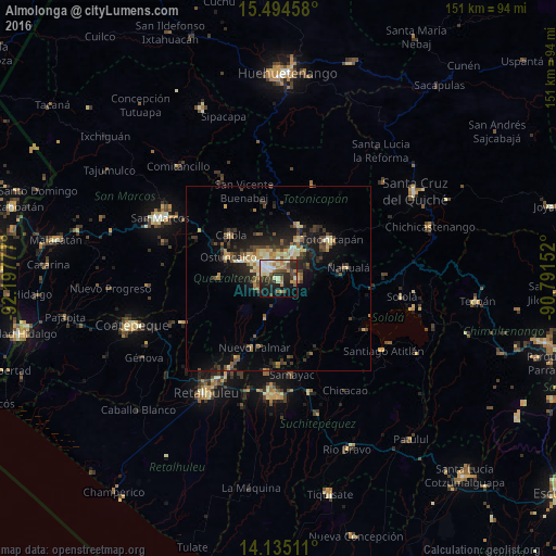
Almolonga night lights from space
Night Light of Almolonga (Quetzaltenango) from space (Guatemala) Src. Average luminocity for 10x10km area is 46.7087% and for 50x50km: 9.3077%.
Analysis of Almolonga night lights 2016
Square area 10x10 km:
 5.99%
5.99%90-99
11.16%80-89
6.61%70-79
4.96%60-69
8.47%50-59
3.51%40-49
7.85%30-39
7.44%20-29
16.53%10-19
19.42%0-9
8.06%Square area 50x50 km:
0.37%90-99
1.22%80-89
1.44%70-79
1.04%60-69
1.44%50-59
1.15%40-49
1.73%30-39
2.35%20-29
3.16%10-19
6.57%0-9
79.54%Clear (daylight) street map image can be seen on geolist.org.
Map coordinates:
15° 29' 40.5" North, 92° 11' 52" West
14° 48' 57.3" North, 91° 29' 40.7" West
14° 8' 6.4" North, 90° 47' 29.5" West
Some cities around Almolonga sort by population:
• Quetzaltenango
3.3 km =2.1 mi,  309°
309°
• Cantel
4.3 km =2.7 mi,  96°
96°
• La Esperanza
9.5 km =5.9 mi, 310°
• San Andrés Xecul
10 km =6.2 mi,  7°
7°
• Salcajá
8.2 km =5.1 mi,  29°
29°
• Zunil
3.7 km =2.3 mi,  160°
160°
• Concepción Chiquirichapa
14.5 km =9 mi,  287°
287°
• San Mateo
11.3 km =7 mi, 294°
3599793 (p: 11,913)
Sources (retrieved 2019-11-25):
» Earth at Night: Flat Maps 2012, 2016