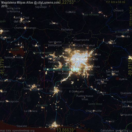
Magdalena Milpas Altas night lights from space
Night Light of Magdalena Milpas Altas (Sacatepéquez) from space (Guatemala) Src. Average luminocity for 10x10km area is 30.4632% and for 50x50km: 29.8784%.
Analysis of Magdalena Milpas Altas night lights 2016
Square area 10x10 km:
 0%
0%90-99
2.38%80-89
3.9%70-79
2.16%60-69
4.33%50-59
4.76%40-49
7.14%30-39
10.39%20-29
20.35%10-19
39.18%0-9
5.41%Square area 50x50 km:
6.08%90-99
6.41%80-89
3.9%70-79
3.31%60-69
4.65%50-59
3.37%40-49
3.37%30-39
3.49%20-29
4.94%10-19
13.65%0-9
46.83%Clear (daylight) street map image can be seen on geolist.org.
Map coordinates:
15° 13' 39.1" North, 91° 22' 40.4" West
14° 32' 52.8" North, 90° 40' 29.2" West
13° 51' 59" North, 89° 58' 17.9" West
Some cities around Magdalena Milpas Altas sort by population:
• Amatitlán
8.9 km =5.5 mi,  151°
151°
• Antigua Guatemala
6.6 km =4.1 mi,  282°
282°
• Santiago Sacatepéquez
9.7 km =6 mi,  358°
358°
• San Lucas Sacatepéquez
7.2 km =4.5 mi,  15°
15°
• Jocotenango
7.6 km =4.7 mi,  296°
296°
• Santa María de Jesús
7.1 km =4.4 mi,  212°
212°
• Santa Lucía Milpas Altas
3.2 km =2 mi, 356°
• San Bartolomé Milpas Altas
6.6 km =4.1 mi, 356°
3592770 (p: 5,582)
Sources (retrieved 2019-11-25):
» Earth at Night: Flat Maps 2012, 2016