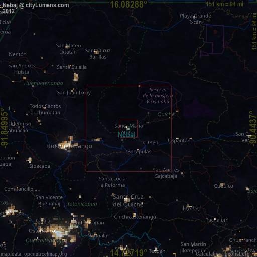
Nebaj night lights from space
Night Light of Nebaj (Quiché) from space (Guatemala) Src. Average luminocity for 10x10km area is 1.2619% and for 50x50km: 0.2714%.
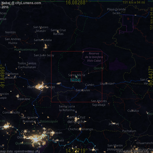
Analysis of Nebaj night lights 2016
Square area 10x10 km:
 0%
0%90-99
0%80-89
0%70-79
0%60-69
0.87%50-59
0%40-49
0%30-39
1.73%20-29
0%10-19
0%0-9
97.4%Square area 50x50 km:
0%90-99
0%80-89
0.04%70-79
0.03%60-69
0.03%50-59
0.04%40-49
0.15%30-39
0.18%20-29
0.06%10-19
0%0-9
99.47%Clear (daylight) street map image can be seen on geolist.org.
Map coordinates:
16° 4' 58.4" North, 91° 50' 59.8" West
15° 24' 22.1" North, 91° 8' 48.6" West
14° 43' 37.9" North, 90° 26' 37.3" West
Some cities around Nebaj sort by population:
• Huehuetenango
36.2 km =22.5 mi,  254°
254°
• Sacapulas
14.5 km =9 mi,  154°
154°
• Chajul
14.8 km =9.2 mi,  53°
53°
• San Juan Cotzal
12.4 km =7.7 mi,  75°
75°
• Soloma
41.3 km =25.7 mi,  312°
312°
• Chiantla
33.9 km =21.1 mi,  260°
260°
• Cunén
14.9 km =9.3 mi,  121°
121°
• Aguacatán
19 km =11.8 mi, 248°
3592237 (p: 23,301)
Sources (retrieved 2019-11-25):
» Earth at Night: Flat Maps 2012, 2016