Huehuetenango night lights from space
Night Light of Huehuetenango from space (Guatemala) Src. Average luminocity for 10x10km area is 36.9421% and for 50x50km: 2.3594%.
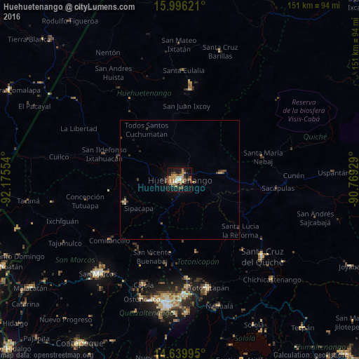
Analysis of Huehuetenango night lights 2016
Square area 10x10 km:
 1.65%
1.65%90-99
4.34%80-89
4.13%70-79
6.2%60-69
13.43%50-59
4.13%40-49
5.99%30-39
4.34%20-29
9.09%10-19
33.47%0-9
13.22%Square area 50x50 km:
0.08%90-99
0.23%80-89
0.23%70-79
0.29%60-69
0.64%50-59
0.33%40-49
0.49%30-39
0.41%20-29
0.53%10-19
1.72%0-9
95.04%Clear (daylight) street map image can be seen on geolist.org.
Map coordinates:
15° 59' 46.4" North, 92° 10' 31.9" West
15° 19' 9" North, 91° 28' 20.7" West
14° 38' 23.8" North, 90° 46' 9.4" West
Some cities around Huehuetenango sort by population:
• Momostenango
31.3 km =19.4 mi,  167°
167°
• Nebaj
36.2 km =22.5 mi,  74°
74°
• Cabricán
33.1 km =20.6 mi,  214°
214°
• Soloma
38 km =23.6 mi,  6°
6°
• Huitán
35 km =21.7 mi, 210°
• Chiantla
4.3 km =2.7 mi,  21°
21°
• Santa María Chiquimula
35.6 km =22.1 mi,  154°
154°
• Aguacatán
17.5 km =10.9 mi,  81°
81°
3595416 (p: 79,426)
Sources (retrieved 2019-11-25):
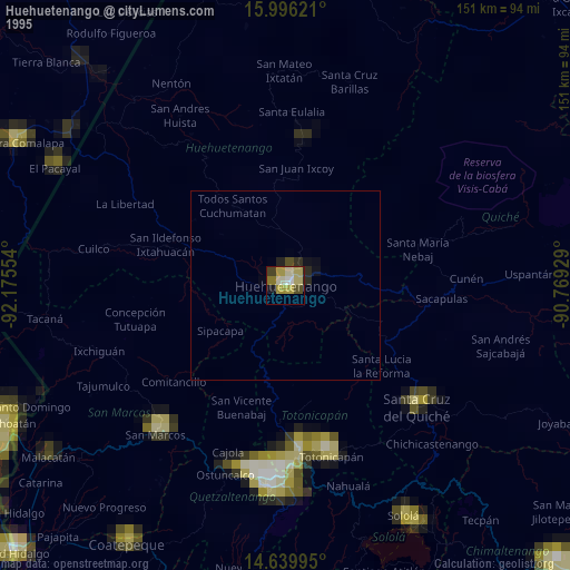
» NASA, Earths city lights 1995
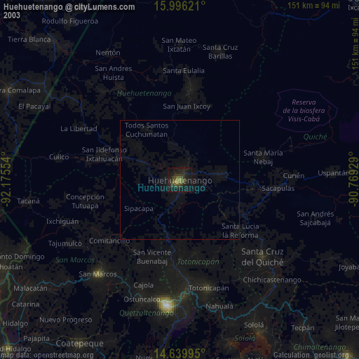
» NASA city lights 2003
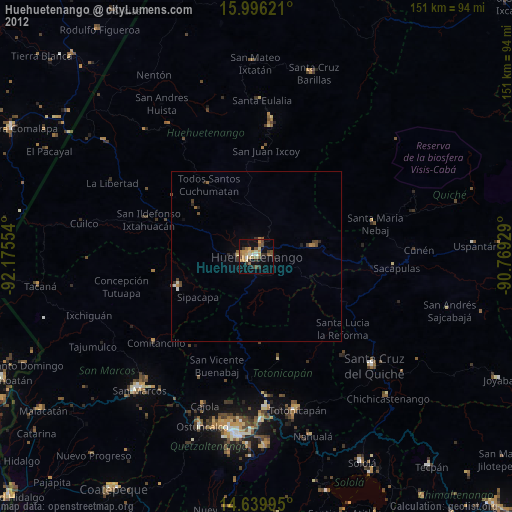
» Earth at Night: Flat Maps 2012, 2016