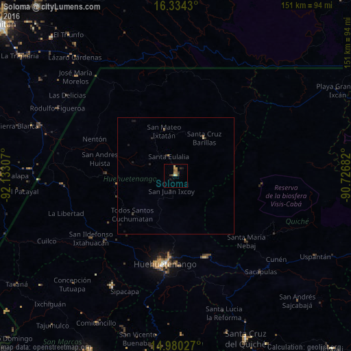
Soloma night lights from space
Night Light of Soloma (Huehuetenango) from space (Guatemala) Src. Average luminocity for 10x10km area is 8.4805% and for 50x50km: 0.5639%.
Analysis of Soloma night lights 2016
Square area 10x10 km:
 0%
0%90-99
0.87%80-89
0.65%70-79
3.68%60-69
1.08%50-59
1.95%40-49
0.43%30-39
1.73%20-29
1.73%10-19
1.73%0-9
86.15%Square area 50x50 km:
0%90-99
0.03%80-89
0.06%70-79
0.14%60-69
0.09%50-59
0.13%40-49
0.02%30-39
0.15%20-29
0.22%10-19
0.27%0-9
98.9%Clear (daylight) street map image can be seen on geolist.org.
Map coordinates:
16° 20' 3.5" North, 92° 7' 59.1" West
15° 39' 30.3" North, 91° 25' 47.8" West
14° 58' 49" North, 90° 43' 36.6" West
Some cities around Soloma sort by population:
• Huehuetenango
38 km =23.6 mi,  186°
186°
• Jacaltenango
30.2 km =18.8 mi,  271°
271°
• Barillas
20.2 km =12.6 mi,  37°
37°
• San Mateo Ixtatán
20 km =12.4 mi,  345°
345°
• Concepción Huista
25.5 km =15.8 mi,  261°
261°
• Chiantla
33.9 km =21.1 mi, 185°
• San Antonio Huista
36.6 km =22.7 mi, 268°
• Aguacatán
37.4 km =23.2 mi,  160°
160°
3588694 (p: 10,916)
Sources (retrieved 2019-11-25):
» Earth at Night: Flat Maps 2012, 2016