Chajul night lights from space
Night Light of Chajul (Quiché) from space (Guatemala) Src. Average luminocity for 10x10km area is 0.0346% and for 50x50km: 0.1501%.
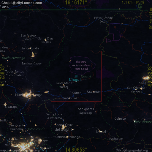
Analysis of Chajul night lights 2016
Square area 10x10 km:
 0%
0%90-99
0%80-89
0%70-79
0%60-69
0%50-59
0%40-49
0%30-39
0%20-29
0%10-19
0%0-9
100%Square area 50x50 km:
0%90-99
0%80-89
0%70-79
0%60-69
0.03%50-59
0.02%40-49
0.05%30-39
0.18%20-29
0.08%10-19
0%0-9
99.65%Clear (daylight) street map image can be seen on geolist.org.
Map coordinates:
16° 9' 42.2" North, 91° 44' 18" West
15° 29' 6.8" North, 91° 2' 6.7" West
14° 48' 23.5" North, 90° 19' 55.5" West
Some cities around Chajul sort by population:
• Nebaj
14.8 km =9.2 mi,  233°
233°
• Barillas
46.4 km =28.8 mi,  319°
319°
• Sacapulas
22.7 km =14.1 mi,  194°
194°
• San Juan Cotzal
5.7 km =3.5 mi,  179°
179°
• Soloma
46.5 km =28.9 mi,  294°
294°
• Cunén
16.6 km =10.3 mi, 177°
• San Luis Ixcán
34.2 km =21.3 mi,  349°
349°
• Aguacatán
33.6 km =20.9 mi,  241°
241°
3598804 (p: 11,657)
Sources (retrieved 2019-11-25):
» Earth at Night: Flat Maps 2012, 2016