Chiantla night lights from space
Night Light of Chiantla (Huehuetenango) from space (Guatemala) Src. Average luminocity for 10x10km area is 23.5087% and for 50x50km: 2.3091%.
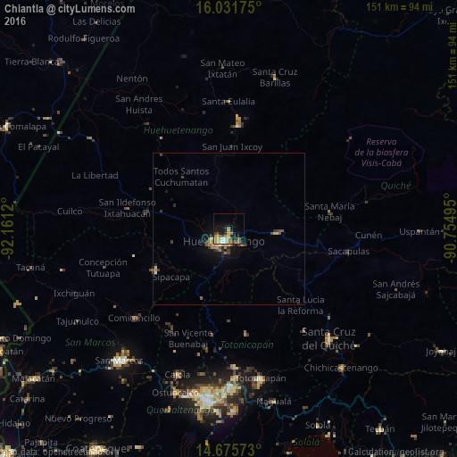
Analysis of Chiantla night lights 2016
Square area 10x10 km:
 1.3%
1.3%90-99
3.25%80-89
1.95%70-79
5.41%60-69
6.49%50-59
2.81%40-49
2.81%30-39
3.68%20-29
4.33%10-19
15.15%0-9
52.81%Square area 50x50 km:
0.08%90-99
0.22%80-89
0.23%70-79
0.29%60-69
0.65%50-59
0.32%40-49
0.43%30-39
0.41%20-29
0.5%10-19
1.74%0-9
95.13%Clear (daylight) street map image can be seen on geolist.org.
Map coordinates:
16° 1' 54.3" North, 92° 9' 40.3" West
15° 21' 17.4" North, 91° 27' 29.1" West
14° 40' 32.6" North, 90° 45' 17.8" West
Some cities around Chiantla sort by population:
• Huehuetenango
4.3 km =2.7 mi,  201°
201°
• Momostenango
34.9 km =21.7 mi,  171°
171°
• Nebaj
33.9 km =21.1 mi,  80°
80°
• Cabricán
37.2 km =23.1 mi,  213°
213°
• Soloma
33.9 km =21.1 mi,  5°
5°
• Concepción Huista
37.2 km =23.1 mi,  323°
323°
• Santa María Chiquimula
38.7 km =24 mi,  159°
159°
• Aguacatán
15.8 km =9.8 mi,  95°
95°
3598692 (p: 8,465)
Sources (retrieved 2019-11-25):
» Earth at Night: Flat Maps 2012, 2016