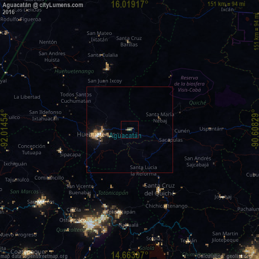
Aguacatán night lights from space
Night Light of Aguacatán (Huehuetenango) from space (Guatemala) Src. Average luminocity for 10x10km area is 4.0563% and for 50x50km: 2.1187%.
Analysis of Aguacatán night lights 2016
Square area 10x10 km:
 0%
0%90-99
0%80-89
1.08%70-79
0.65%60-69
0%50-59
1.08%40-49
3.03%30-39
1.08%20-29
0%10-19
0%0-9
93.07%Square area 50x50 km:
0.07%90-99
0.18%80-89
0.21%70-79
0.29%60-69
0.65%50-59
0.28%40-49
0.39%30-39
0.39%20-29
0.44%10-19
1.67%0-9
95.43%Clear (daylight) street map image can be seen on geolist.org.
Map coordinates:
16° 1' 9" North, 92° 0' 52.3" West
15° 20' 32" North, 91° 18' 41.1" West
14° 39' 47.1" North, 90° 36' 29.8" West
Some cities around Aguacatán sort by population:
• Huehuetenango
17.5 km =10.9 mi,  261°
261°
• Momostenango
34.7 km =21.6 mi,  197°
197°
• Nebaj
19 km =11.8 mi,  68°
68°
• Sacapulas
24.6 km =15.3 mi,  104°
104°
• Chajul
33.6 km =20.9 mi,  61°
61°
• San Juan Cotzal
31.3 km =19.4 mi, 71°
• Chiantla
15.8 km =9.8 mi,  275°
275°
• Cunén
30.4 km =18.9 mi,  91°
91°
3599912 (p: 5,572)
Sources (retrieved 2019-11-25):
» Earth at Night: Flat Maps 2012, 2016