Jalapa night lights from space
Night Light of Jalapa from space (Guatemala) Src. Average luminocity for 10x10km area is 15.1602% and for 50x50km: 1.5823%.
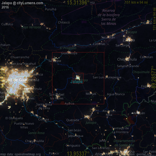
Analysis of Jalapa night lights 2016
Square area 10x10 km:
 0%
0%90-99
4.98%80-89
4.11%70-79
1.3%60-69
1.73%50-59
1.3%40-49
0.43%30-39
0.87%20-29
0.65%10-19
1.73%0-9
82.9%Square area 50x50 km:
0%90-99
0.24%80-89
0.29%70-79
0.11%60-69
0.24%50-59
0.31%40-49
0.38%30-39
0.29%20-29
0.35%10-19
0.22%0-9
97.57%Clear (daylight) street map image can be seen on geolist.org.
Map coordinates:
15° 18' 50.3" North, 90° 41' 31.3" West
14° 38' 5" North, 89° 59' 20" West
13° 57' 12.1" North, 89° 17' 8.8" West
Some cities around Jalapa sort by population:
• Sanarate
28.3 km =17.6 mi,  307°
307°
• Guastatoya
25.9 km =16.1 mi,  340°
340°
• Santa Catarina Mita
32.9 km =20.4 mi,  128°
128°
• Monjas
19.9 km =12.4 mi,  138°
138°
• San Luis Jilotepeque
27.5 km =17.1 mi,  86°
86°
• San Antonio La Paz
34.7 km =21.6 mi,  293°
293°
• Mataquescuintla
24.1 km =15 mi,  240°
240°
• El Progreso
35 km =21.7 mi,  154°
154°
3595237 (p: 45,834)
Sources (retrieved 2019-11-25):
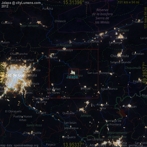
» Earth at Night: Flat Maps 2012, 2016