Santa Catarina Ixtahuacán night lights from space
Night Light of Santa Catarina Ixtahuacán (Sololá) from space (Guatemala) Src. Average luminocity for 10x10km area is 2.7252% and for 50x50km: 8.7444%.
Analysis of Santa Catarina Ixtahuacán night lights 2016
Square area 10x10 km:
 0%
0%90-99
0%80-89
0.41%70-79
0%60-69
0.41%50-59
0.83%40-49
0%30-39
0.83%20-29
1.24%10-19
0.83%0-9
95.45%Square area 50x50 km:
0.36%90-99
1.12%80-89
1.52%70-79
1.02%60-69
1.34%50-59
1.05%40-49
1.57%30-39
2.09%20-29
3.08%10-19
5.73%0-9
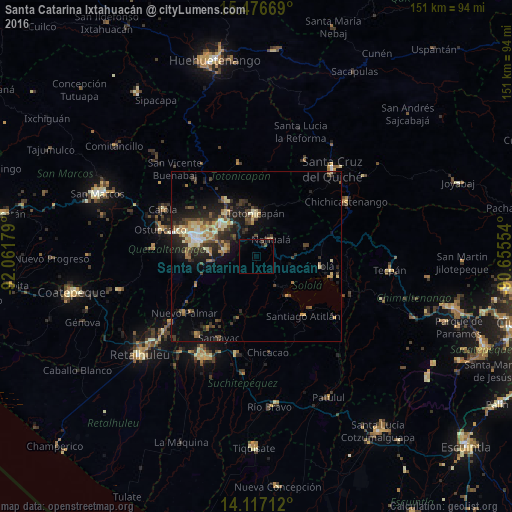
81.12%Clear (daylight) street map image can be seen on geolist.org.
Map coordinates:
15° 28' 36.1" North, 92° 3' 42.4" West
14° 47' 52.7" North, 91° 21' 31.2" West
14° 7' 1.6" North, 90° 39' 19.9" West
Some cities around Santa Catarina Ixtahuacán sort by population:
• Totonicapán
12.6 km =7.8 mi,  358°
358°
• Nahualá
6.6 km =4.1 mi,  41°
41°
• Cantel
10.5 km =6.5 mi,  278°
278°
• Salcajá
13.9 km =8.6 mi,  310°
310°
• Almolonga
14.8 km =9.2 mi, 277°
• Zunil
13.5 km =8.4 mi,  263°
263°
• San Pedro La Laguna
14.9 km =9.3 mi,  141°
141°
• San Pablo La Laguna
12.6 km =7.8 mi,  132°
132°
3589458 (p: 14,734)
Sources (retrieved 2019-11-25):
» Earth at Night: Flat Maps 2012, 2016