Spáta night lights from space
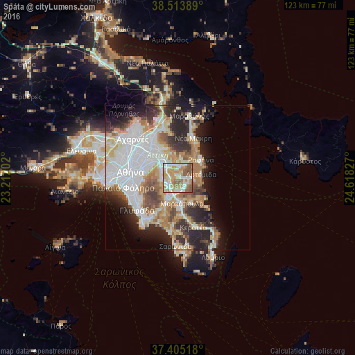
Night Light of Spáta (Attica) from space (Greece) Src. Average luminocity for 10x10km area is 79.711% and for 50x50km: 41.2953%.
Analysis of Spáta night lights 2016
Square area 10x10 km:
 15.58%
90-99
24.84%80-89
7.95%70-79
21.27%60-69
12.99%50-59
14.94%40-49
2.44%30-39
0%20-29
0%10-19
0%0-9
0%Square area 50x50 km:
11.83%90-99
9.16%80-89
4.38%70-79
5.42%60-69
6.15%50-59
3.89%40-49
3.69%30-39
4.25%20-29
8.87%10-19
8.39%0-9
33.98%Clear (daylight) street map image can be seen on geolist.org.
Map coordinates:
38° 30' 50" North, 23° 12' 43.3" East
37° 57' 41.9" North, 23° 54' 54.5" East
37° 24' 18.6" North, 24° 37' 5.8" East
Some cities around Spáta sort by population:
• Agía Paraskeví
9.4 km =5.8 mi,  310°
310°
• Gérakas
8.5 km =5.3 mi,  323°
323°
• Artémida
7.2 km =4.5 mi,  84°
84°
• Koropí
7.9 km =4.9 mi,  208°
208°
• Pallíni
5.6 km =3.5 mi,  329°
329°
• Paianía
5.4 km =3.4 mi,  262°
262°
• Markópoulo
8.9 km =5.5 mi,  169°
169°
• Leondárion
6 km =3.7 mi,  298°
298°
253376 (p: 9,198)
Sources (retrieved 2019-11-25):
» Earth at Night: Flat Maps 2012, 2016