Agía Paraskeví night lights from space
Night Light of Agía Paraskeví (Attica) from space (Greece) Src. Average luminocity for 10x10km area is 93.8831% and for 50x50km: 46.161%.
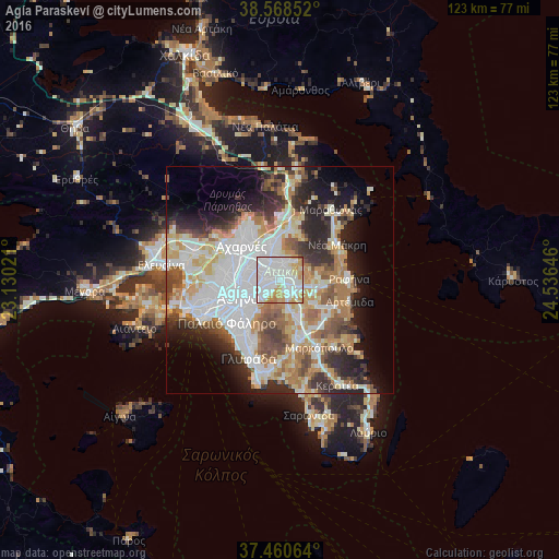
Analysis of Agía Paraskeví night lights 2016
Square area 10x10 km:
 46.92%
90-99
28.57%80-89
8.28%70-79
13.64%60-69
1.95%50-59
0.49%40-49
0.16%30-39
0%20-29
0%10-19
0%0-9
0%Square area 50x50 km:
12.96%90-99
10.63%80-89
4.88%70-79
6.21%60-69
6.5%50-59
4.57%40-49
4.48%30-39
4.7%20-29
8.68%10-19
8.82%0-9
27.58%Clear (daylight) street map image can be seen on geolist.org.
Map coordinates:
38° 34' 6.7" North, 23° 7' 48.8" East
38° 1' 0" North, 23° 49' 60" East
37° 27' 38.3" North, 24° 32' 11.3" East
Some cities around Agía Paraskeví sort by population:
• Khalándrion
3 km =1.9 mi,  285°
285°
• Cholargós
3.5 km =2.2 mi,  237°
237°
• Vrilissia
1.9 km =1.2 mi,  350°
350°
• Gérakas
2.2 km =1.4 mi,  72°
72°
• Melíssia
3.7 km =2.3 mi,  0°
0°
• Pallíni
4.5 km =2.8 mi,  106°
106°
• Néo Psychikó
4.5 km =2.8 mi,  255°
255°
• Leondárion
3.8 km =2.4 mi,  149°
149°
264194 (p: 59,704)
Sources (retrieved 2019-11-25):
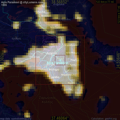
» NASA, Earths city lights 1995
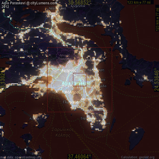
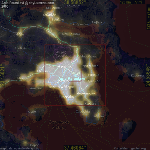
» NASA city lights 2003
» Earth at Night: Flat Maps 2012, 2016