Paianía night lights from space
Night Light of Paianía (Attica) from space (Greece) Src. Average luminocity for 10x10km area is 77.4594% and for 50x50km: 45.391%.
Analysis of Paianía night lights 2016
Square area 10x10 km:
100  14.45%
90-99 19.16%
80-89 11.36%
70-79 22.73%
60-69 12.99%
50-59 11.53%
40-49 5.03%
30-39 2.76%
20-29 0%
10-19 0%
0-9 0%
14.45%90-99
19.16%80-89
11.36%70-79
22.73%60-69
12.99%50-59
11.53%40-49
5.03%30-39
2.76%20-29
0%10-19
0%0-9
0%Square area 50x50 km:
100 12.9%
90-99 10.38%
80-89 4.89%
70-79 6.04%
60-69 6.47%
50-59 4.2%
40-49 4.15%
30-39 4.44%
20-29 9.49%
10-19 9.11%
0-9 27.93%
12.9%90-99
10.38%80-89
4.89%70-79
6.04%60-69
6.47%50-59
4.2%40-49
4.15%30-39
4.44%20-29
9.49%10-19
9.11%0-9
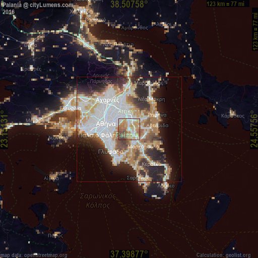
27.93%Clear (daylight) street map image can be seen on geolist.org.
Map coordinates:
38° 30' 27.3" North, 23° 9' 4.7" East
37° 57' 19" North, 23° 51' 15.9" East
37° 23' 55.6" North, 24° 33' 27.2" East
Some cities around Paianía sort by population:
• Agía Paraskeví
7.1 km =4.4 mi,  344°
344°
• Cholargós
6.9 km =4.3 mi,  316°
316°
• Gérakas
7.5 km =4.7 mi,  2°
2°
• Koropí
6.5 km =4 mi,  166°
166°
• Pallíni
6.1 km =3.8 mi,  24°
24°
• Papágou
6.4 km =4 mi,  302°
302°
• Spáta
5.4 km =3.4 mi,  82°
82°
• Leondárion
3.5 km =2.2 mi, 1°
256197 (p: 14,595)
Sources (retrieved 2019-11-25):
» Earth at Night: Flat Maps 2012, 2016