Gérakas night lights from space
Night Light of Gérakas (Attica) from space (Greece) Src. Average luminocity for 10x10km area is 87.362% and for 50x50km: 44.5171%.
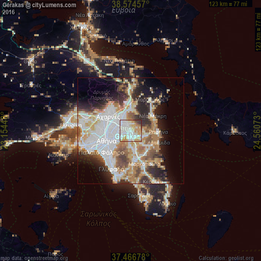
Analysis of Gérakas night lights 2016
Square area 10x10 km:
 32.47%
90-99
28.08%80-89
9.42%70-79
18.18%60-69
4.06%50-59
2.11%40-49
1.3%30-39
3.73%20-29
0.65%10-19
0%0-9
0%Square area 50x50 km:
12.74%90-99
10.25%80-89
4.68%70-79
5.95%60-69
6.35%50-59
4.33%40-49
4.11%30-39
4.46%20-29
7.96%10-19
8.49%0-9
30.67%Clear (daylight) street map image can be seen on geolist.org.
Map coordinates:
38° 34' 28.5" North, 23° 9' 16.1" East
38° 1' 22" North, 23° 51' 27.4" East
37° 28' 0.4" North, 24° 33' 38.6" East
Some cities around Gérakas sort by population:
• Khalándrion
5 km =3.1 mi,  271°
271°
• Agía Paraskeví
2.2 km =1.4 mi,  252°
252°
• Cholargós
5.6 km =3.5 mi,  243°
243°
• Vrilissia
2.7 km =1.7 mi,  296°
296°
• Melíssia
3.7 km =2.3 mi,  324°
324°
• Pallíni
3 km =1.9 mi,  131°
131°
• Néa Pentéli
4.2 km =2.6 mi,  1°
1°
• Leondárion
4 km =2.5 mi,  183°
183°
8201845 (p: 29,939)
Sources (retrieved 2019-11-25):
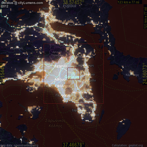
» Earth at Night: Flat Maps 2012, 2016