Cholargós night lights from space
Night Light of Cholargós (Attica) from space (Greece) Src. Average luminocity for 10x10km area is 94.1006% and for 50x50km: 48.2205%.
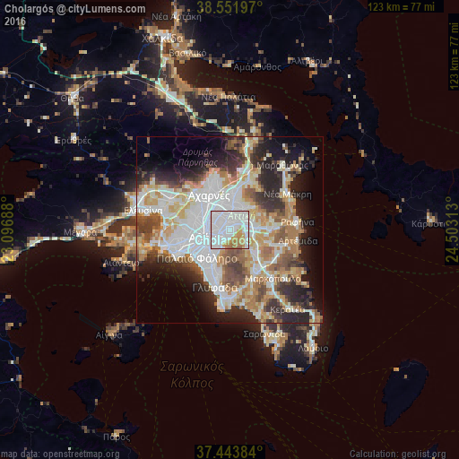
Analysis of Cholargós night lights 2016
Square area 10x10 km:
 58.28%
90-99
21.43%80-89
4.71%70-79
8.28%60-69
6.17%50-59
1.14%40-49
0%30-39
0%20-29
0%10-19
0%0-9
0%Square area 50x50 km:
13.24%90-99
10.99%80-89
5.05%70-79
6.54%60-69
7%50-59
4.74%40-49
5.03%30-39
5.04%20-29
9.55%10-19
9.61%0-9
23.2%Clear (daylight) street map image can be seen on geolist.org.
Map coordinates:
38° 33' 7.1" North, 23° 5' 48.8" East
38° 0' 0" North, 23° 48' 0" East
37° 26' 37.8" North, 24° 30' 11.3" East
Some cities around Cholargós sort by population:
• Khalándrion
2.6 km =1.6 mi,  1°
1°
• Zográfos
3.8 km =2.4 mi,  225°
225°
• Agía Paraskeví
3.5 km =2.2 mi,  57°
57°
• Vrilissia
4.6 km =2.9 mi,  34°
34°
• Papágou
1.6 km =1 mi,  200°
200°
• Néo Psychikó
1.6 km =1 mi,  295°
295°
• Psychikó
2.8 km =1.7 mi, 301°
• Filothéi
3.2 km =2 mi,  331°
331°
259949 (p: 30,840)
Sources (retrieved 2019-11-25):
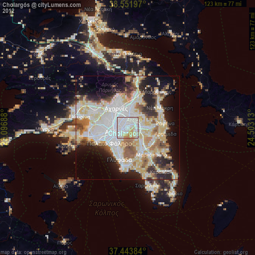
» Earth at Night: Flat Maps 2012, 2016