Kavála night lights from space
Night Light of Kavála (East Macedonia and Thrace) from space (Greece) Src. Average luminocity for 10x10km area is 47.4218% and for 50x50km: 10.7965%.
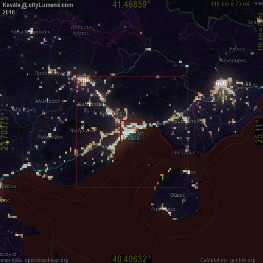
Analysis of Kavála night lights 2016
Square area 10x10 km:
 9.69%
9.69%90-99
15.14%80-89
4.59%70-79
4.42%60-69
3.23%50-59
4.42%40-49
1.36%30-39
6.29%20-29
19.9%10-19
23.81%0-9
7.14%Square area 50x50 km:
0.88%90-99
2.14%80-89
1.22%70-79
1.3%60-69
1.21%50-59
1.4%40-49
0.89%30-39
1.05%20-29
3.03%10-19
11.83%0-9
75.05%Clear (daylight) street map image can be seen on geolist.org.
Map coordinates:
41° 28' 6.9" North, 23° 42' 13.5" East
40° 56' 22.5" North, 24° 24' 24.7" East
40° 24' 22.8" North, 25° 6' 36" East
Some cities around Kavála sort by population:
• Sérres
73.9 km =45.9 mi,  282°
282°
• Xánthi
45.8 km =28.5 mi,  61°
61°
• Dráma
32.2 km =20 mi,  317°
317°
• Smolyan, BG
75.1 km =46.7 mi,  19°
19°
• Chrysoúpolis
24.6 km =15.3 mi,  78°
78°
• Zlatograd, BG
75.6 km =47 mi,  49°
49°
• Madan, BG
76.5 km =47.5 mi,  35°
35°
• Karyes
77.1 km =47.9 mi,  190°
190°
735861 (p: 54,027)
Sources (retrieved 2019-11-25):
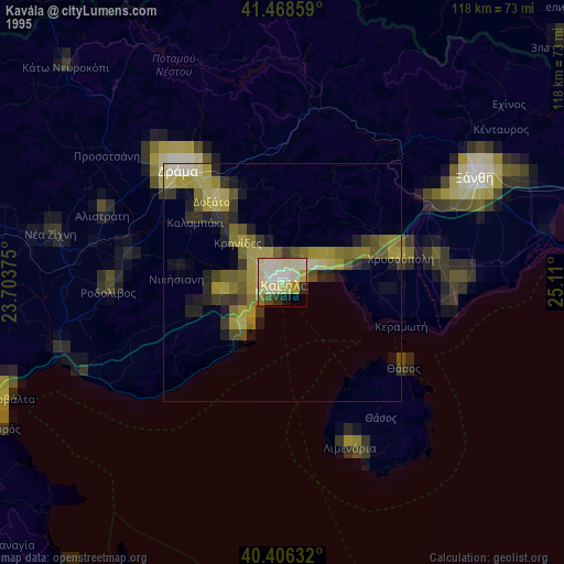
» NASA, Earths city lights 1995
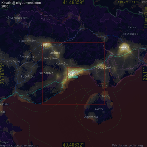
» NASA city lights 2003
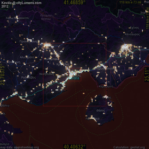
» Earth at Night: Flat Maps 2012, 2016