Karyes night lights from space
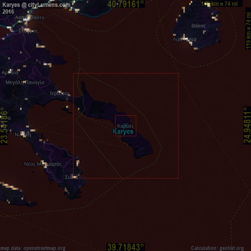
Night Light of Karyes (Mount Athos) from space (Greece) Src. Average luminocity for 10x10km area is 0% and for 50x50km: 0.1794%.
Analysis of Karyes night lights 2016
Square area 10x10 km:
 0%
0%90-99
0%80-89
0%70-79
0%60-69
0%50-59
0%40-49
0%30-39
0%20-29
0%10-19
0%0-9
100%Square area 50x50 km:
0%90-99
0.03%80-89
0.03%70-79
0%60-69
0.1%50-59
0.03%40-49
0.01%30-39
0.04%20-29
0.04%10-19
0.01%0-9
99.71%Clear (daylight) street map image can be seen on geolist.org.
Map coordinates:
40° 47' 29.8" North, 23° 32' 30.7" East
40° 15' 25.7" North, 24° 14' 41.9" East
39° 43' 6.3" North, 24° 56' 53.2" East
Some cities around Karyes sort by population:
• Kavála
77.1 km =47.9 mi,  10°
10°
• Dráma
99.9 km =62.1 mi,  355°
355°
• Thérmi
108.6 km =67.5 mi,  287°
287°
• Polýgyros
69.4 km =43.1 mi,  281°
281°
• Néa Moudhaniá
81.5 km =50.6 mi,  268°
268°
• Chrysoúpolis
89.4 km =55.6 mi,  25°
25°
• Néa Kallikráteia
100.4 km =62.4 mi, 273°
• Mýrina
81.6 km =50.7 mi,  121°
121°
735972 (p: 237)
Sources (retrieved 2019-11-25):
» Earth at Night: Flat Maps 2012, 2016