Xánthi night lights from space
Night Light of Xánthi (East Macedonia and Thrace) from space (Greece) Src. Average luminocity for 10x10km area is 46.7208% and for 50x50km: 6.1792%.
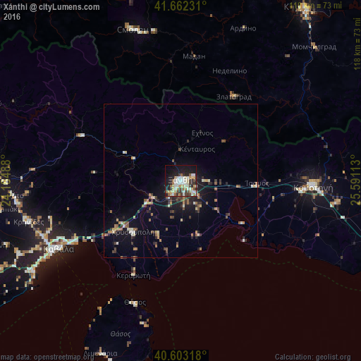
Analysis of Xánthi night lights 2016
Square area 10x10 km:
 7.14%
7.14%90-99
12.99%80-89
5.68%70-79
6.66%60-69
6.01%50-59
3.73%40-49
5.84%30-39
7.14%20-29
9.09%10-19
26.79%0-9
8.93%Square area 50x50 km:
0.39%90-99
1.05%80-89
0.62%70-79
0.77%60-69
0.93%50-59
0.79%40-49
0.93%30-39
1.09%20-29
1.44%10-19
4.55%0-9
87.44%Clear (daylight) street map image can be seen on geolist.org.
Map coordinates:
41° 39' 44.3" North, 24° 11' 5.6" East
41° 8' 5.6" North, 24° 53' 16.8" East
40° 36' 11.4" North, 25° 35' 28.1" East
Some cities around Xánthi sort by population:
• Kavála
45.8 km =28.5 mi,  241°
241°
• Komotiní
43.4 km =27 mi,  92°
92°
• Dráma
62.1 km =38.6 mi,  271°
271°
• Smolyan, BG
51 km =31.7 mi,  343°
343°
• Chrysoúpolis
23.2 km =14.4 mi,  224°
224°
• Zlatograd, BG
32.3 km =20.1 mi,  32°
32°
• Madan, BG
40.7 km =25.3 mi,  6°
6°
• Nedelino, BG
39.1 km =24.3 mi,  24°
24°
733840 (p: 48,221)
Sources (retrieved 2019-11-25):
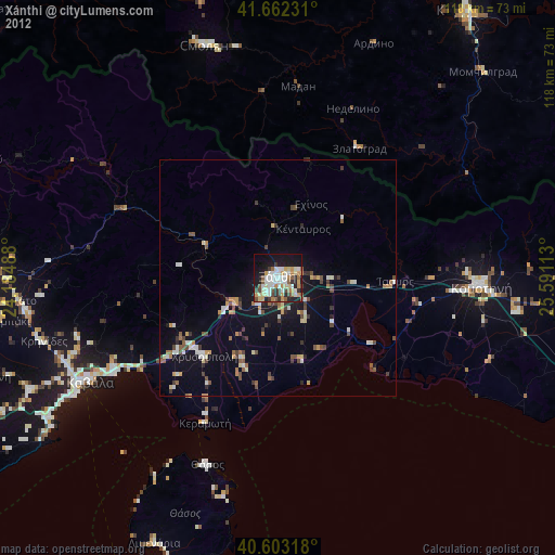
» Earth at Night: Flat Maps 2012, 2016