Smolyan night lights from space
Night Light of Smolyan from space (Bulgaria) Src. Average luminocity for 10x10km area is 13.1429% and for 50x50km: 0.8221%.
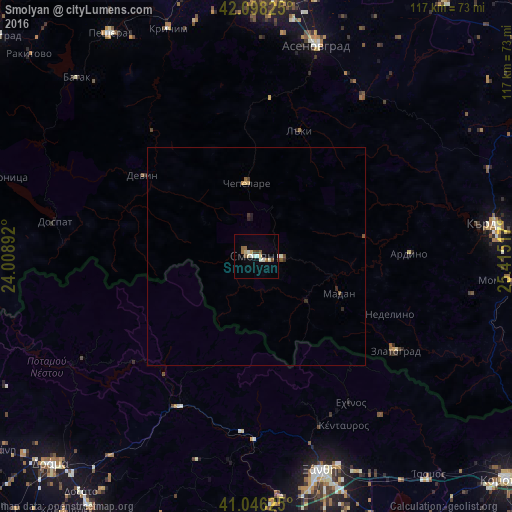
Analysis of Smolyan night lights 2016
Square area 10x10 km:
 0.97%
0.97%90-99
3.57%80-89
1.62%70-79
0.97%60-69
1.95%50-59
1.95%40-49
1.3%30-39
0.65%20-29
0%10-19
0.65%0-9
86.36%Square area 50x50 km:
0.06%90-99
0.17%80-89
0.1%70-79
0.08%60-69
0.08%50-59
0.15%40-49
0.14%30-39
0.1%20-29
0.13%10-19
0.05%0-9
98.95%Clear (daylight) street map image can be seen on geolist.org.
Map coordinates:
42° 5' 53.7" North, 24° 0' 32.1" East
41° 34' 27.8" North, 24° 42' 43.3" East
41° 2' 46.5" North, 25° 24' 54.6" East
Some cities around Smolyan sort by population:
• Asenovgrad
50.8 km =31.6 mi,  14°
14°
• Xánthi, GR
51 km =31.7 mi,  163°
163°
• Devin
32 km =19.9 mi,  305°
305°
• Zlatograd
38.6 km =24 mi,  124°
124°
• Madan
20.7 km =12.9 mi,  113°
113°
• Chepelare
17.8 km =11.1 mi,  352°
352°
• Perushtitsa
54.6 km =33.9 mi, 345°
• Nedelino
33.3 km =20.7 mi, 113°
727030 (p: 32,069)
Sources (retrieved 2019-11-25):
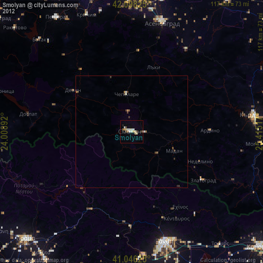
» Earth at Night: Flat Maps 2012, 2016