Thérmi night lights from space
Night Light of Thérmi (Central Macedonia) from space (Greece) Src. Average luminocity for 10x10km area is 67.1153% and for 50x50km: 20.2204%.
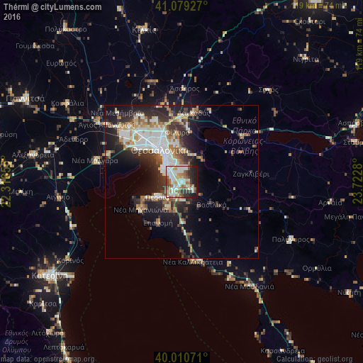
Analysis of Thérmi night lights 2016
Square area 10x10 km:
 16.56%
90-99
19.81%80-89
9.58%70-79
5.19%60-69
9.58%50-59
8.28%40-49
6.82%30-39
6.82%20-29
8.93%10-19
8.44%0-9
0%Square area 50x50 km:
3.99%90-99
4.39%80-89
1.9%70-79
2.01%60-69
2.82%50-59
2.02%40-49
2.45%30-39
3.63%20-29
5.97%10-19
9.47%0-9
61.33%Clear (daylight) street map image can be seen on geolist.org.
Map coordinates:
41° 4' 45.4" North, 22° 18' 59.6" East
40° 32' 49.6" North, 23° 1' 10.8" East
40° 0' 38.6" North, 23° 43' 22.1" East
Some cities around Thérmi sort by population:
• Kalamariá
7.1 km =4.4 mi,  303°
303°
• Pylaía
6.4 km =4 mi,  333°
333°
• Panórama
4.6 km =2.9 mi,  12°
12°
• Peraía
9.6 km =6 mi,  235°
235°
• Triandría
8.4 km =5.2 mi, 334°
• Trílofos
9.6 km =6 mi,  204°
204°
• Asvestochóri
10.5 km =6.5 mi,  2°
2°
• Plagiári
9.8 km =6.1 mi,  212°
212°
734080 (p: 14,373)
Sources (retrieved 2019-11-25):
» Earth at Night: Flat Maps 2012, 2016