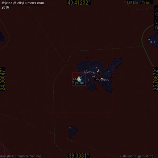
Mýrina night lights from space
Night Light of Mýrina (North Aegean) from space (Greece) Src. Average luminocity for 10x10km area is 5.5867% and for 50x50km: 0.4142%.
Analysis of Mýrina night lights 2016
Square area 10x10 km:
 0.17%
0.17%90-99
1.19%80-89
0%70-79
1.87%60-69
0.85%50-59
0%40-49
1.7%30-39
0.68%20-29
1.36%10-19
1.36%0-9
90.82%Square area 50x50 km:
0.01%90-99
0.07%80-89
0.01%70-79
0.1%60-69
0.03%50-59
0.08%40-49
0.09%30-39
0.15%20-29
0.13%10-19
0.08%0-9
99.25%Clear (daylight) street map image can be seen on geolist.org.
Map coordinates:
40° 24' 44.4" North, 24° 21' 37.7" East
39° 52' 29.4" North, 25° 3' 48.9" East
39° 19' 59.2" North, 25° 46' 0.2" East
Some cities around Mýrina sort by population:
• Çanakkale, TR
119 km =73.9 mi,  74°
74°
• Alexandroupoli
128.4 km =79.8 mi,  32°
32°
• Ezine, TR
109.5 km =68 mi,  95°
95°
• Chrysoúpolis
127.4 km =79.2 mi,  345°
345°
• Gökçeada, TR
80.6 km =50.1 mi,  63°
63°
• Ayvacık, TR
118.6 km =73.7 mi, 104°
• Eceabat, TR
115.4 km =71.7 mi, 72°
• Karyes
81.6 km =50.7 mi,  301°
301°
256930 (p: 5,406)
Sources (retrieved 2019-11-25):
» Earth at Night: Flat Maps 2012, 2016