Vrilissia night lights from space
Night Light of Vrilissia (Attica) from space (Greece) Src. Average luminocity for 10x10km area is 93.6721% and for 50x50km: 45.7411%.
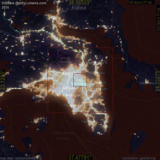
Analysis of Vrilissia night lights 2016
Square area 10x10 km:
 51.95%
90-99
27.76%80-89
6.49%70-79
7.95%60-69
1.79%50-59
1.3%40-49
1.46%30-39
1.3%20-29
0%10-19
0%0-9
0%Square area 50x50 km:
12.88%90-99
10.46%80-89
4.76%70-79
6.21%60-69
6.41%50-59
4.62%40-49
4.55%30-39
4.56%20-29
8.04%10-19
9.35%0-9
28.15%Clear (daylight) street map image can be seen on geolist.org.
Map coordinates:
38° 35' 7.9" North, 23° 7' 35.4" East
38° 2' 1.7" North, 23° 49' 46.6" East
37° 28' 40.5" North, 24° 31' 57.9" East
Some cities around Vrilissia sort by population:
• Khalándrion
2.8 km =1.7 mi,  246°
246°
• Maroúsi
3.2 km =2 mi,  304°
304°
• Agía Paraskeví
1.9 km =1.2 mi,  170°
170°
• Gérakas
2.7 km =1.7 mi,  116°
116°
• Melíssia
1.8 km =1.1 mi,  10°
10°
• Péfki
4.4 km =2.7 mi,  312°
312°
• Filothéi
4.2 km =2.6 mi,  256°
256°
• Néa Pentéli
3.9 km =2.4 mi,  41°
41°
6324534 (p: 30,741)
Sources (retrieved 2019-11-25):
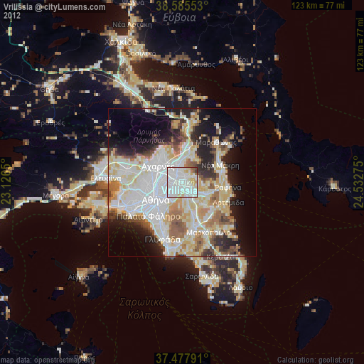
» Earth at Night: Flat Maps 2012, 2016