Kouroussa night lights from space
Night Light of Kouroussa (Kankan) from space (Guinea) Src. Average luminocity for 10x10km area is 0% and for 50x50km: 0%.
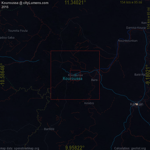
Analysis of Kouroussa night lights 2016
Square area 10x10 km:
 0%
0%90-99
0%80-89
0%70-79
0%60-69
0%50-59
0%40-49
0%30-39
0%20-29
0%10-19
0%0-9
100%Square area 50x50 km:
0%90-99
0%80-89
0%70-79
0%60-69
0%50-59
0%40-49
0%30-39
0%20-29
0%10-19
0%0-9
100%Clear (daylight) street map image can be seen on geolist.org.
Map coordinates:
11° 20' 24.8" North, 10° 35' 11.3" West
10° 39' 0" North, 9° 52' 60" West
9° 57' 29.6" North, 9° 10' 48.8" West
Some cities around Kouroussa sort by population:
• Kankan
69.7 km =43.3 mi,  114°
114°
• Kissidougou
164.6 km =102.3 mi,  188°
188°
• Siguiri
116.1 km =72.1 mi,  42°
42°
• Dabola
134.2 km =83.4 mi,  274°
274°
• Mandiana
130 km =80.8 mi,  91°
91°
• Faranah
116 km =72.1 mi,  234°
234°
• Tokonou
111.7 km =69.4 mi,  174°
174°
• Dinguiraye
115.1 km =71.5 mi,  308°
308°
2418437 (p: 14,223)
Sources (retrieved 2019-11-25):
» Earth at Night: Flat Maps 2012, 2016