Kankan night lights from space
Night Light of Kankan from space (Guinea) Src. Average luminocity for 10x10km area is 2.0331% and for 50x50km: 0.0828%.
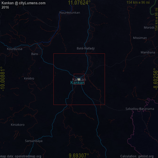

Analysis of Kankan night lights 2016
Square area 10x10 km:
 0%
0%90-99
0%80-89
0%70-79
0%60-69
0.21%50-59
1.65%40-49
1.45%30-39
0.21%20-29
0.62%10-19
0%0-9
95.87%Square area 50x50 km:
0%90-99
0%80-89
0%70-79
0%60-69
0.01%50-59
0.07%40-49
0.06%30-39
0.01%20-29
0.03%10-19
0%0-9
99.83%Clear (daylight) street map image can be seen on geolist.org.
Map coordinates:
11° 4' 34.5" North, 10° 0' 31.7" West
10° 23' 7.5" North, 9° 18' 20.4" West
9° 41' 35.1" North, 8° 36' 9.2" West
Some cities around Kankan sort by population:
• Kissidougou
159.4 km =99 mi,  213°
213°
• Siguiri
116.3 km =72.3 mi,  7°
7°
• Kouroussa
69.7 km =43.3 mi,  294°
294°
• Mandiana
72 km =44.7 mi,  68°
68°
• Faranah
161.9 km =100.6 mi,  256°
256°
• Kérouané
128.4 km =79.8 mi,  165°
165°
• Tokonou
97.1 km =60.3 mi, 212°
• Dinguiraye
183.6 km =114.1 mi,  303°
303°
2419992 (p: 114,009)
Sources (retrieved 2019-11-25):
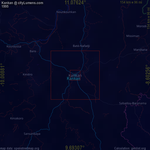
» NASA, Earths city lights 1995
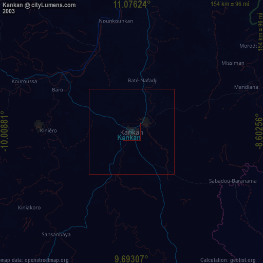
» NASA city lights 2003
» Earth at Night: Flat Maps 2012, 2016