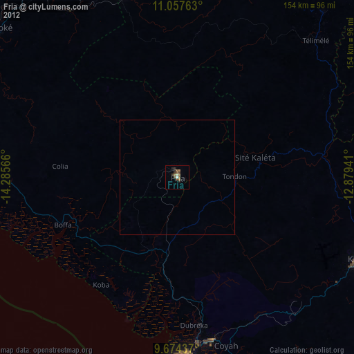
Fria night lights from space
Night Light of Fria (Boke) from space (Guinea) Src. Average luminocity for 10x10km area is 8.0455% and for 50x50km: 0.3348%.
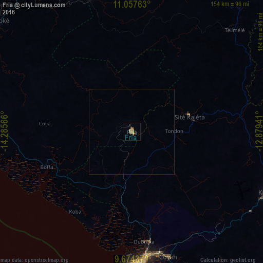
Analysis of Fria night lights 2016
Square area 10x10 km:
100  0%
0%
90-99 0%
80-89 0.83%
70-79 1.03%
60-69 5.58%
50-59 0.83%
40-49 0.83%
30-39 1.45%
20-29 1.45%
10-19 0.41%
0-9 87.6%
0%90-99
0%80-89
0.83%70-79
1.03%60-69
5.58%50-59
0.83%40-49
0.83%30-39
1.45%20-29
1.45%10-19
0.41%0-9
87.6%Square area 50x50 km:
100 0%
90-99 0%
80-89 0.03%
70-79 0.04%
60-69 0.23%
50-59 0.03%
40-49 0.03%
30-39 0.06%
20-29 0.06%
10-19 0.02%
0-9 99.49%
0%90-99
0%80-89
0.03%70-79
0.04%60-69
0.23%50-59
0.03%40-49
0.03%30-39
0.06%20-29
0.06%10-19
0.02%0-9
99.49%Clear (daylight) street map image can be seen on geolist.org.
Map coordinates:
11° 3' 27.5" North, 14° 17' 8.4" West
10° 22' 0.3" North, 13° 34' 57.1" West
9° 40' 27.7" North, 12° 52' 45.9" West
Some cities around Fria sort by population:
• Camayenne
93.2 km =57.9 mi,  187°
187°
• Conakry
92.7 km =57.6 mi, 186°
• Kindia
85.7 km =53.3 mi,  113°
113°
• Coyah
76.6 km =47.6 mi,  163°
163°
• Télimélé
84.4 km =52.4 mi,  45°
45°
• Tondon
25.4 km =15.8 mi,  90°
90°
• Dubréka
64.3 km =40 mi,  174°
174°
• Kimbo
5.1 km =3.2 mi,  43°
43°
2420884 (p: 44,369)
Sources (retrieved 2019-11-25):
» Earth at Night: Flat Maps 2012, 2016