Kimbo night lights from space
Night Light of Kimbo (Boke) from space (Guinea) Src. Average luminocity for 10x10km area is 6.9091% and for 50x50km: 0.3348%.
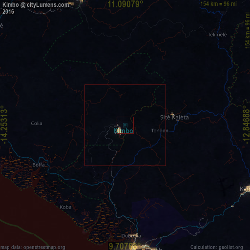
Analysis of Kimbo night lights 2016
Square area 10x10 km:
100  0%
0%
90-99 0%
80-89 0.83%
70-79 1.03%
60-69 5.58%
50-59 0%
40-49 0.83%
30-39 1.45%
20-29 1.45%
10-19 0.41%
0-9 88.43%
0%90-99
0%80-89
0.83%70-79
1.03%60-69
5.58%50-59
0%40-49
0.83%30-39
1.45%20-29
1.45%10-19
0.41%0-9
88.43%Square area 50x50 km:
100 0%
90-99 0%
80-89 0.03%
70-79 0.04%
60-69 0.23%
50-59 0.03%
40-49 0.03%
30-39 0.06%
20-29 0.06%
10-19 0.02%
0-9 99.49%
0%90-99
0%80-89
0.03%70-79
0.04%60-69
0.23%50-59
0.03%40-49
0.03%30-39
0.06%20-29
0.06%10-19
0.02%0-9
99.49%Clear (daylight) street map image can be seen on geolist.org.
Map coordinates:
11° 5' 26.8" North, 14° 15' 11.3" West
10° 24' 0" North, 13° 33' 0" West
9° 42' 27.6" North, 12° 50' 48.8" West
Some cities around Kimbo sort by population:
• Conakry
96.9 km =60.2 mi,  188°
188°
• Kindia
84 km =52.2 mi,  116°
116°
• Coyah
79.2 km =49.2 mi,  166°
166°
• Fria
5.1 km =3.2 mi,  223°
223°
• Télimélé
79.2 km =49.2 mi,  45°
45°
• Tondon
22.2 km =13.8 mi,  99°
99°
• Dubréka
67.8 km =42.1 mi,  177°
177°
• Sanguéya
95.3 km =59.2 mi,  290°
290°
2419538 (p: 9,326)
Sources (retrieved 2019-11-25):
» Earth at Night: Flat Maps 2012, 2016